Transport Functions
Port
Multimodal
Hub Profile
Place type
Urban district
Region
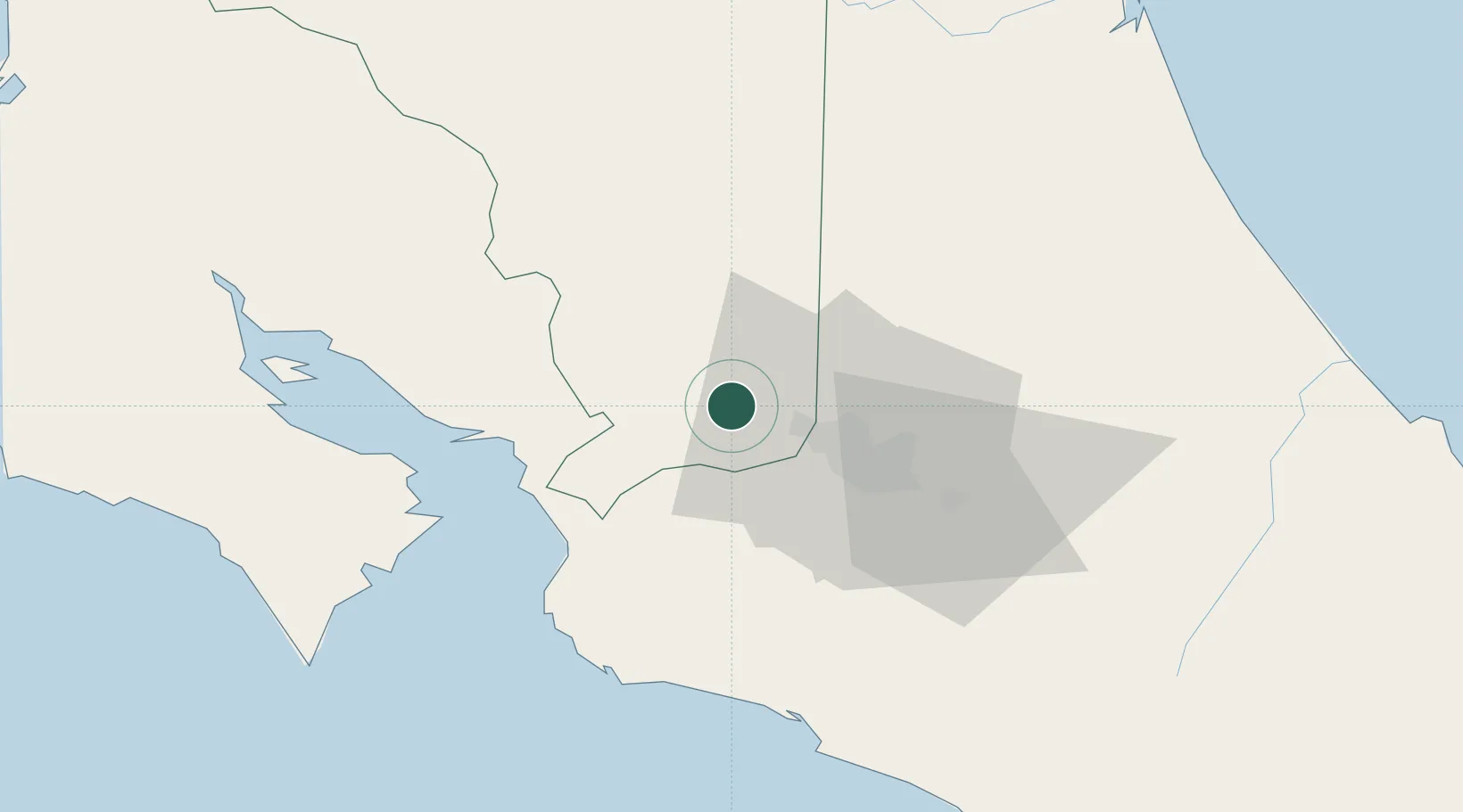
San José
Time zone
America/Costa_Rica
Elevation
1,416 m
Location
Nearby Logistics Neighbours
Cities
- 1Sarchí6 km
- 2Turrucares8 km
- 3Santa Rosa de Pocosol9 km
- 4Naranjo9 km
- 5Coyol10 km
Ports
- 1Puerto Caldera44 km
- 2Puntarenas55 km
- 3Puerto Quepos69 km
- 4Puerto Moin137 km
- 5Puerto Limon144 km
Airports
Trade Zones
DatabookThe Record of Consolidated Knowledge
Costa Rica beyond logistics?