Transport Functions
Port
Road
Multimodal
Hub Profile
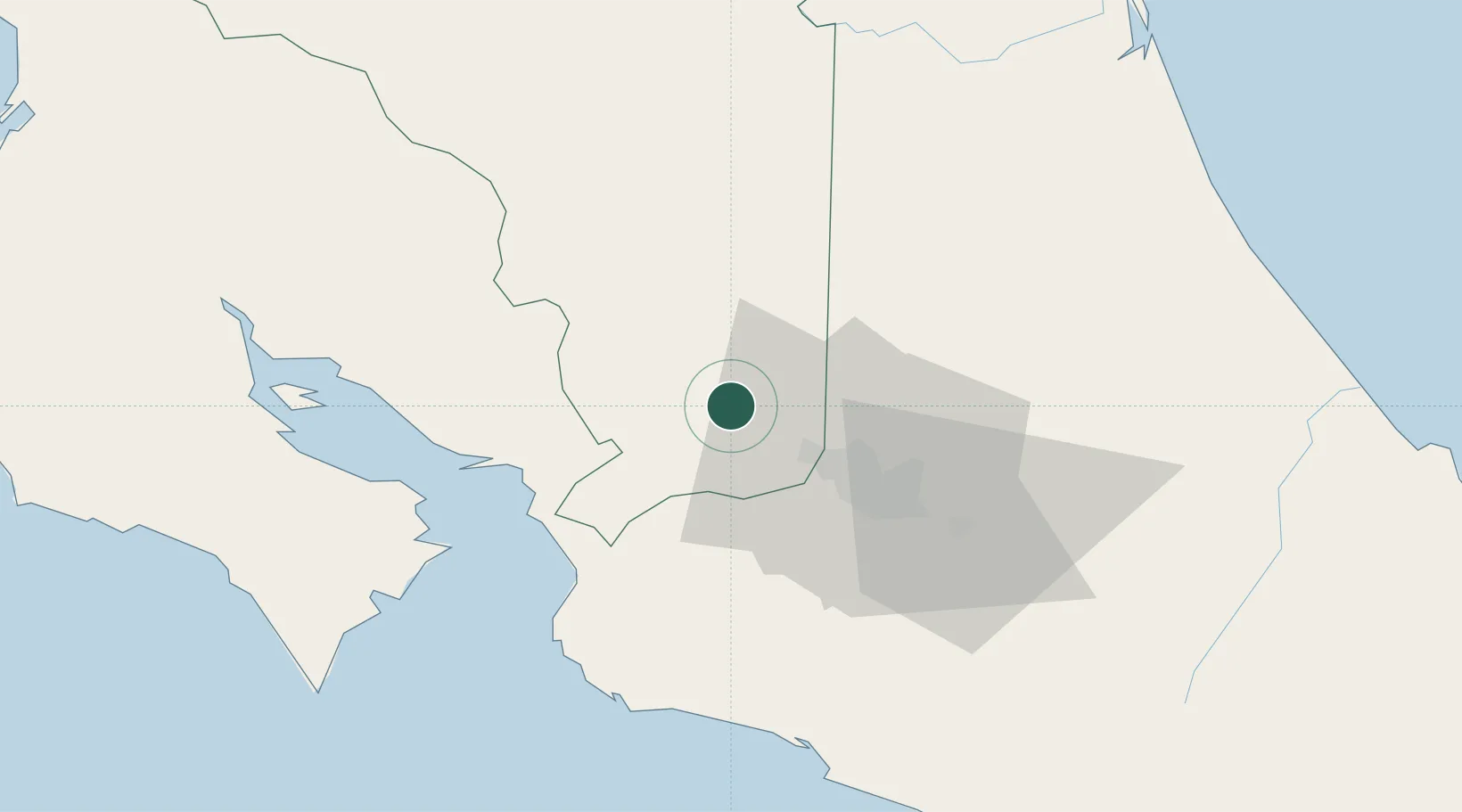
Place type
Provincial seat
Region
Alajuela Province
Time zone
America/Costa_Rica
Elevation
973 m
Location
Nearby Logistics Neighbours
Cities
- 1Naranjo4 km
- 2Poas6 km
- 3Santa Rosa de Pocosol9 km
- 4Barranca9 km
- 5Palmares10 km
Ports
- 1Puerto Caldera44 km
- 2Puntarenas54 km
- 3Puerto Quepos75 km
- 4Puerto Moin139 km
- 5Puerto Limon146 km
Airports
Trade Zones
- 1AAA Top Talent Free Trade Zone2 km
- 2Activa Industrial Park3 km
- 3Coyol Free Zone13 km
- 4Zona Franca BES (BES Free Zone)14 km
- 5Greenpark15 km
DatabookThe Record of Consolidated Knowledge
Costa Rica beyond logistics?