UN/LOCODE hub · Costa Rica
CRASL

Santa Rosa de Pocosol

10.0833°, -84.2667°
1
Transport functions

Transport Functions

Multimodal
UN/LOCODE

Hub Profile

Region
A
GeoNames

Location

Location of CRASL
Natural Earth 10m (public domain) · A · CRASL · 10.08, -84.27GoogleOSMYandex

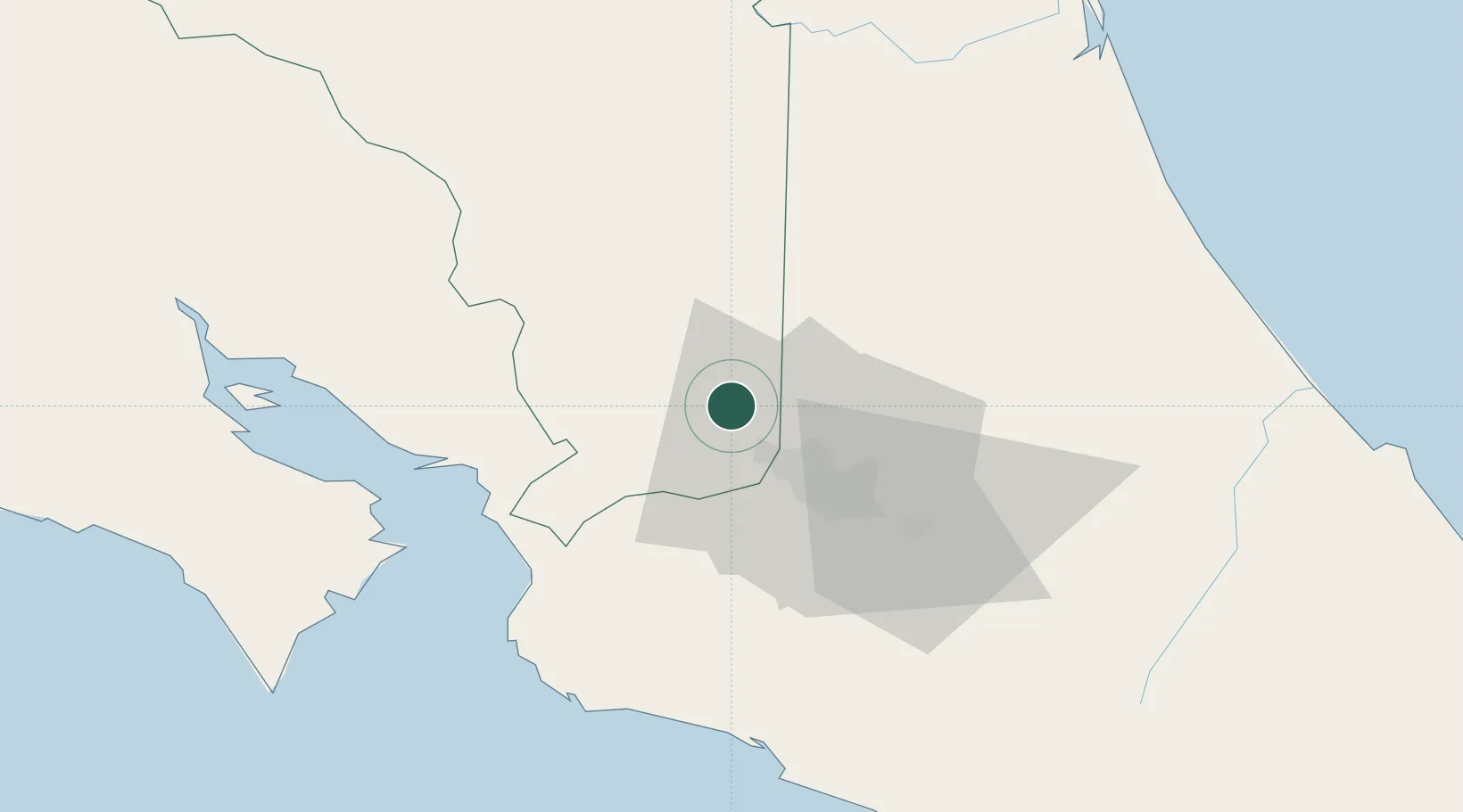
Nearby Logistics Neighbours

Cities
  1. 1San Pedro de Poas2 km
  2. 2Sarchí9 km
  3. 3Poas9 km
  4. 4Alajuela9 km
  5. 5Coyol9 km
Nearest neighbours — logibook spatial index (haversine) over the source coordinates
Ports
  1. 1Puerto Caldera53 km
  2. 2Puntarenas63 km
  3. 3Puerto Quepos73 km
  4. 4Puerto Moin130 km
  5. 5Puerto Limon137 km
Nearest neighbours — logibook spatial index (haversine) over the source coordinates
Airports
  1. 1Juan Santamaría International Airport12 km
  2. 2Tobías Bolaños International Airport20 km
  3. 3Guapiles Airport54 km
  4. 4La Fortuna Arenal Airport55 km
  5. 5Quepos Managua Airport73 km
Nearest neighbours — logibook spatial index (haversine) over the source coordinates
Trade Zones
  1. 1AAA Top Talent Free Trade Zone7 km
  2. 2Activa Industrial Park9 km
  3. 3Zeta Free Zone Alajuela10 km
  4. 4Greenpark10 km
  5. 5Zona Franca BES (BES Free Zone)10 km
Nearest neighbours — logibook spatial index (haversine) over the source coordinates
DatabookThe Record of Consolidated Knowledge
Costa Rica beyond logistics?
Browse databook

All Sources

LocationsUN/LOCODE
UN/LOCODE — free
Portsthe NGA World Port Index
Public domain (US gov)
AirportsOurAirports
Public domain
Trade Zonesthe World Bank SEZ database
CC BY 4.0
Trade ZonesOpen Zone Map
CC BY
← Costa Rica locations