Transport Functions
Multimodal
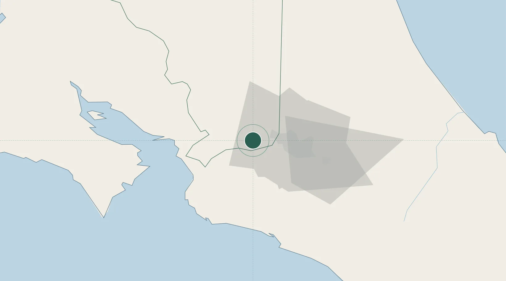
Hub Profile
Place type
Populated place
Region
Alajuela Province
Time zone
America/Costa_Rica
Elevation
622 m
Location
Nearby Logistics Neighbours
Cities
- 1Poas8 km
- 2Coyol8 km
- 3Colón9 km
- 4Alajuela12 km
- 5Rio Segundo13 km
Ports
- 1Puerto Caldera44 km
- 2Puntarenas57 km
- 3Puerto Quepos62 km
- 4Puerto Moin135 km
- 5Puerto Limon142 km
Airports
Trade Zones
- 1Coyol Free Zone5 km
- 2Zona Franca BES (BES Free Zone)7 km
- 3Greenpark8 km
- 4Zeta Free Zone Alajuela10 km
- 5Activa Industrial Park10 km
DatabookThe Record of Consolidated Knowledge
Costa Rica beyond logistics?