Transport Functions
Port
Rail
Road
Multimodal
Hub Profile
Place type
Populated place
Region
Alajuela Province
Time zone
America/Costa_Rica
Elevation
836 m
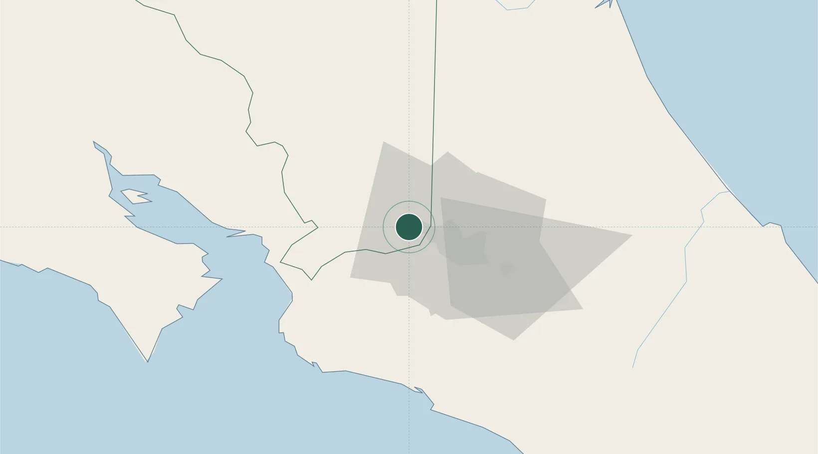
Location
Nearby Logistics Neighbours
Cities
- 1Alajuela4 km
- 2Rio Segundo6 km
- 3La Ribera8 km
- 4Turrucares8 km
- 5San Pedro de Poas9 km
Ports
- 1Puerto Caldera52 km
- 2Puerto Quepos64 km
- 3Puntarenas64 km
- 4Puerto Moin128 km
- 5Puerto Limon135 km
Airports
Trade Zones
- 1Greenpark1 km
- 2Zona Franca BES (BES Free Zone)1 km
- 3Zeta Free Zone Alajuela2 km
- 4Coyol Free Zone3 km
- 5Lindora Park Free Zone8 km
DatabookThe Record of Consolidated Knowledge
Costa Rica beyond logistics?