UN/LOCODE hub · Costa Rica
CRMTZ

San Marcos de Tarrazu

9.6667°, -84.0333°
2
Transport functions

Transport Functions

Port
Multimodal
UN/LOCODE

Hub Profile

Region
SJ
GeoNames

Location

Location of CRMTZ
Natural Earth 10m (public domain) · SJ · CRMTZ · 9.67, -84.03GoogleOSMYandex

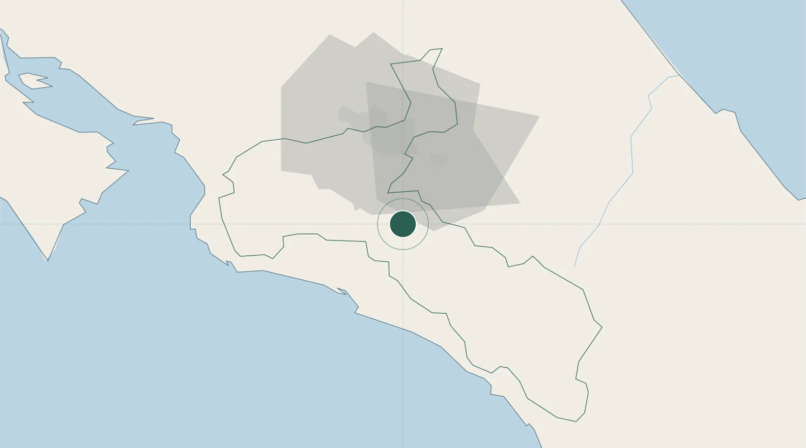
Nearby Logistics Neighbours

Cities
  1. 1Santa Cruz6 km
  2. 2Pacayas15 km
  3. 3Tabarca19 km
  4. 4San Ignacio de Acosta21 km
  5. 5Tejar24 km
Nearest neighbours — logibook spatial index (haversine) over the source coordinates
Ports
  1. 1Puerto Quepos30 km
  2. 2Puerto Caldera80 km
  3. 3Puntarenas95 km
  4. 4Puerto Moin111 km
  5. 5Puerto Limon117 km
Nearest neighbours — logibook spatial index (haversine) over the source coordinates
Airports
  1. 1Quepos Managua Airport27 km
  2. 2Tobías Bolaños International Airport34 km
  3. 3Juan Santamaría International Airport41 km
  4. 4Guapiles Airport67 km
  5. 5Buenos Aires Airport95 km
Nearest neighbours — logibook spatial index (haversine) over the source coordinates
Trade Zones
  1. 1Zeta Free Zone Catargo23 km
  2. 2Lima Free Zone and Business Park24 km
  3. 3Torre Universal30 km
  4. 4Del Este Free Zone32 km
  5. 5Parque Empresarial Del Este32 km
Nearest neighbours — logibook spatial index (haversine) over the source coordinates
DatabookThe Record of Consolidated Knowledge
Costa Rica beyond logistics?
Browse databook

All Sources

LocationsUN/LOCODE
UN/LOCODE — free
Portsthe NGA World Port Index
Public domain (US gov)
AirportsOurAirports
Public domain
Trade Zonesthe World Bank SEZ database
CC BY 4.0
Trade ZonesOpen Zone Map
CC BY
← Costa Rica locations