Transport Functions
Port
Road
Multimodal
Hub Profile
Region
SJ
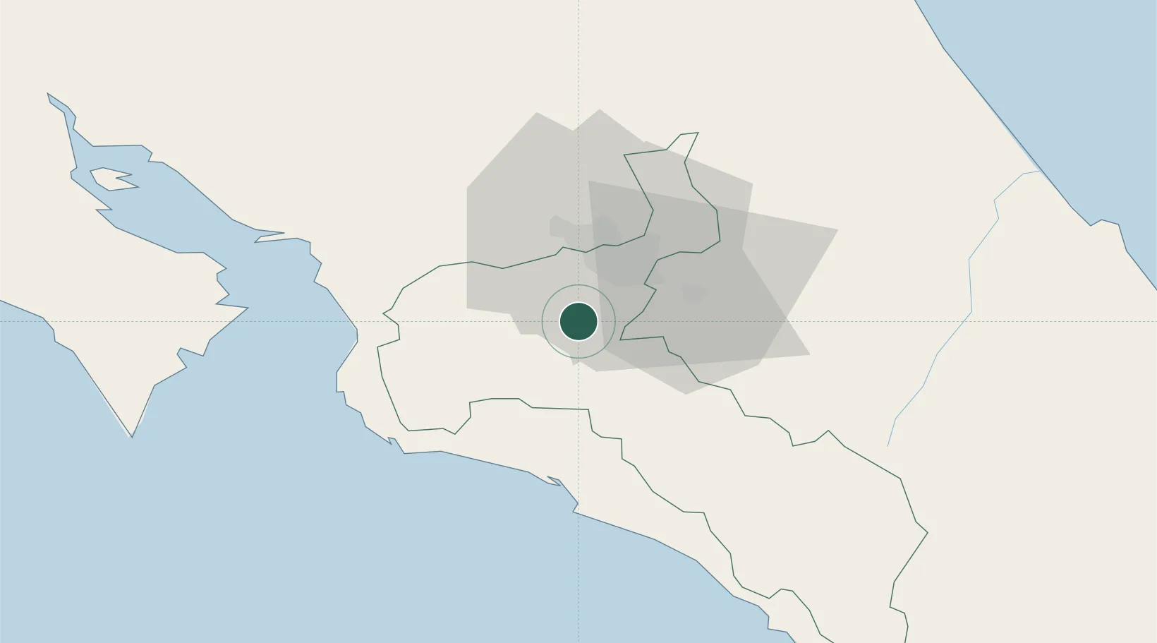
Location
Nearby Logistics Neighbours
Cities
- 1Tabarca6 km
- 2Tejar9 km
- 3Pacayas13 km
- 4Colón16 km
- 5Santa Cruz19 km
Ports
- 1Puerto Quepos41 km
- 2Puerto Caldera62 km
- 3Puntarenas76 km
- 4Puerto Moin121 km
- 5Puerto Limon128 km
Airports
Trade Zones
- 1UltraPark Escazú16 km
- 2Torre Universal17 km
- 3Lindora Park Free Zone18 km
- 4UltraPark II19 km
- 5Ultrapark LAG Free Zone19 km
DatabookThe Record of Consolidated Knowledge
Costa Rica beyond logistics?