Transport Functions
Multimodal
Hub Profile
Place type
Populated place
Region
Cartago Province
Population
1,556
Time zone
America/Costa_Rica
Elevation
1,675 m
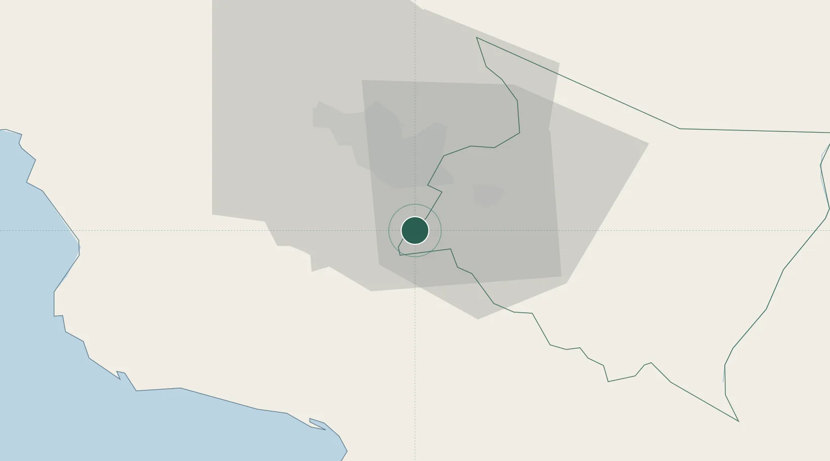
Location
Nearby Logistics Neighbours
Cities
- 1Tabarca8 km
- 2Santa Cruz10 km
- 3San Ignacio de Acosta13 km
- 4Curridabat13 km
- 5Cartago14 km
Ports
- 1Puerto Quepos43 km
- 2Puerto Caldera74 km
- 3Puntarenas88 km
- 4Puerto Moin108 km
- 5Puerto Limon115 km
Airports
Trade Zones
- 1Zeta Free Zone Catargo12 km
- 2Lima Free Zone and Business Park13 km
- 3Torre Universal16 km
- 4Del Este Free Zone17 km
- 5Parque Empresarial Del Este17 km
DatabookThe Record of Consolidated Knowledge
Costa Rica beyond logistics?