Transport Functions
Rail
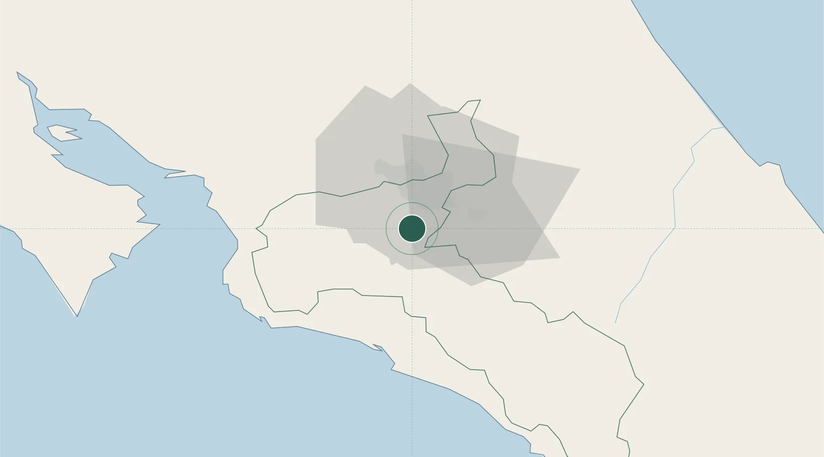
Hub Profile
Region
SJ
Location
Nearby Logistics Neighbours
Cities
- 1San Ignacio de Acosta6 km
- 2Pacayas8 km
- 3Curridabat14 km
- 4Tejar15 km
- 5Santa Cruz16 km
Ports
- 1Puerto Quepos43 km
- 2Puerto Caldera67 km
- 3Puntarenas81 km
- 4Puerto Moin115 km
- 5Puerto Limon122 km
Airports
Trade Zones
- 1Torre Universal13 km
- 2UltraPark Escazú13 km
- 3Del Este Free Zone15 km
- 4Parque Empresarial Del Este15 km
- 5El Roble Industrial Logistics Zone (RILZ)16 km
DatabookThe Record of Consolidated Knowledge
Costa Rica beyond logistics?