Transport Functions
Rail
Road
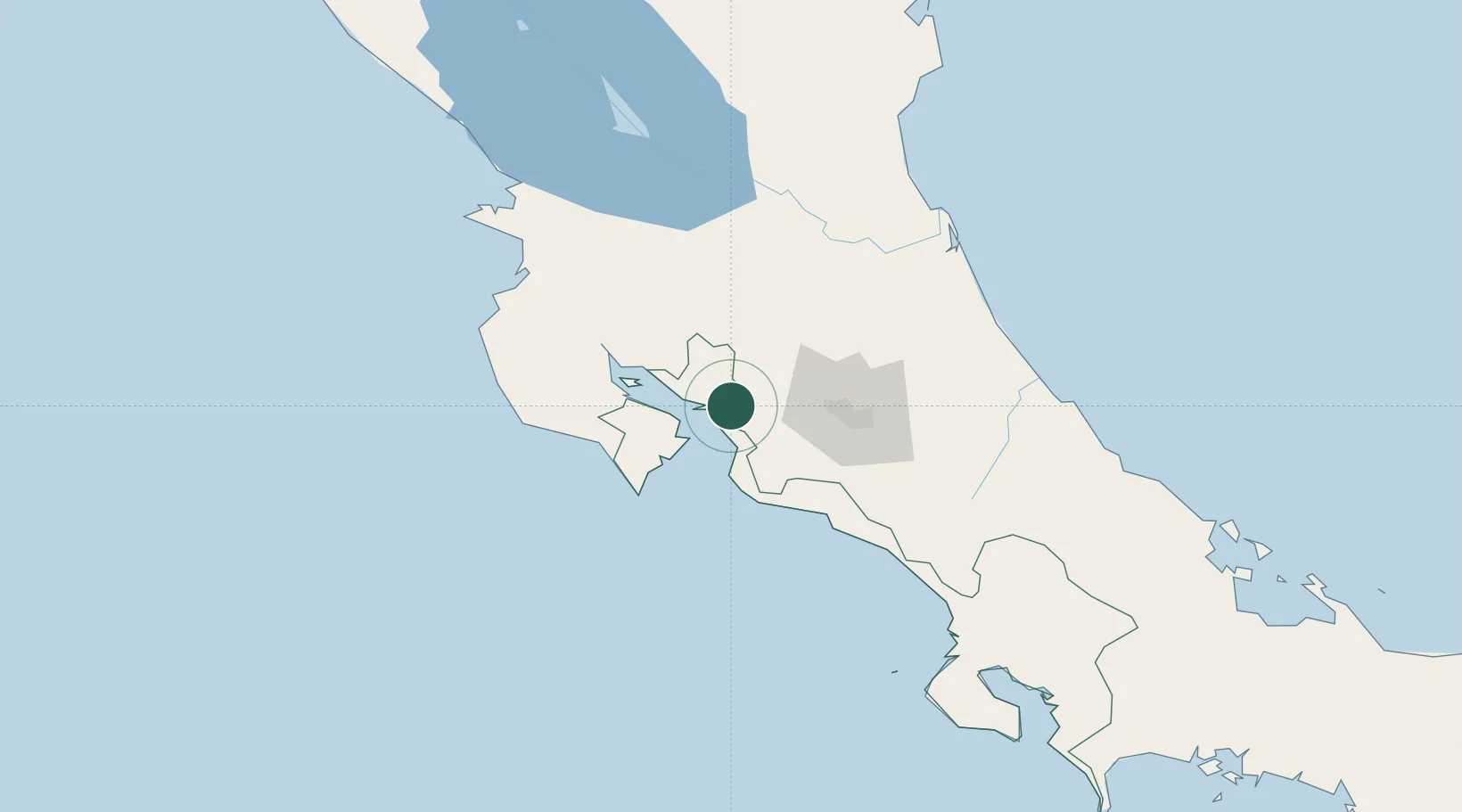
Hub Profile
Place type
Populated place
Region
Puntarenas Province
Population
15,575
Time zone
America/Costa_Rica
Elevation
223 m
Location
Nearby Logistics Neighbours
Cities
- 1Barranca6 km
- 2Salinas6 km
- 3Puerto Caldera7 km
- 4Caldera9 km
- 5Coyolar14 km
Ports
- 1Puerto Caldera9 km
- 2Puntarenas18 km
- 3Puerto Quepos82 km
- 4Puerto Moin173 km
- 5Puerto Limon181 km
Airports
Trade Zones
DatabookThe Record of Consolidated Knowledge
Costa Rica beyond logistics?