UN/LOCODE hub · Costa Rica
CRCAL
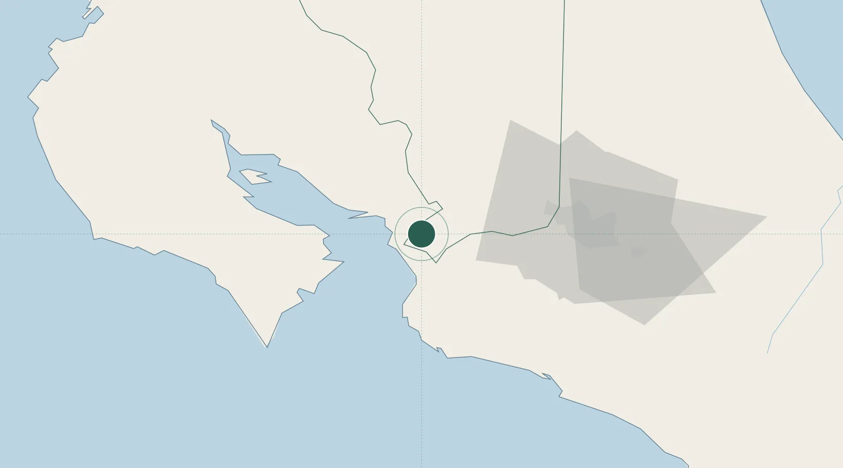
Caldera
9.9175°, -84.6173°
3
Transport functions
1
Container terminals
Transport Functions
Port
Rail
Road
Hub Profile
Place type
Populated place
Region
Puntarenas Province
Time zone
America/Costa_Rica
Elevation
78 m
Logistics facilities
9
Container terminals
1
Location
Nearby Logistics Neighbours
Cities
- 1Coyolar6 km
- 2Salinas7 km
- 3Esparza9 km
- 4Orotina9 km
- 5Puerto Caldera12 km
Ports
- 1Puerto Caldera11 km
- 2Puntarenas25 km
- 3Puerto Quepos73 km
- 4Puerto Moin168 km
- 5Puerto Limon176 km
Airports
Trade Zones
DatabookThe Record of Consolidated Knowledge
Costa Rica beyond logistics?