UN/LOCODE hub · Costa Rica
CRPTC

Puerto Caldera

9.9500°, -84.7167°
1
Transport functions

Transport Functions

Port
Puerto Caldera is also a profiled seaport →
UN/LOCODE

Hub Profile

Region
P
GeoNames

Location

Location of CRPTC
Natural Earth 10m (public domain) · P · CRPTC · 9.95, -84.72GoogleOSMYandex

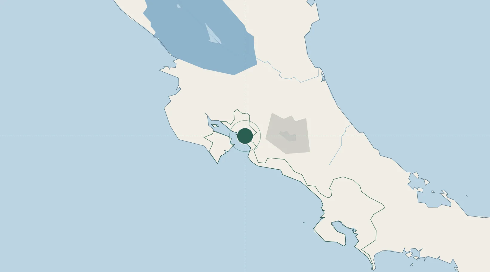
Nearby Logistics Neighbours

Cities
  1. 1Barranca4 km
  2. 2Salinas4 km
  3. 3Esparza7 km
  4. 4Caldera12 km
  5. 5Puntarenas13 km
Nearest neighbours — logibook spatial index (haversine) over the source coordinates
Ports
  1. 1Puntarenas13 km
  2. 2Puerto Quepos83 km
  3. 3Puerto Moin179 km
  4. 4Puerto Limon186 km
  5. 5Golfito224 km
Nearest neighbours — logibook spatial index (haversine) over the source coordinates
Airports
  1. 1Juan Santamaría International Airport56 km
  2. 2La Fortuna Arenal Airport60 km
  3. 3Tobías Bolaños International Airport63 km
  4. 4Quepos Managua Airport86 km
  5. 5Nosara Airport103 km
Nearest neighbours — logibook spatial index (haversine) over the source coordinates
Trade Zones
  1. 1Zona Franca Puntarenas, SA4 km
  2. 2Puntarenas Free Trade Zone7 km
  3. 3Activa Industrial Park43 km
  4. 4AAA Top Talent Free Trade Zone45 km
  5. 5Coyol Free Zone48 km
Nearest neighbours — logibook spatial index (haversine) over the source coordinates
DatabookThe Record of Consolidated Knowledge
Costa Rica beyond logistics?
Browse databook

All Sources

LocationsUN/LOCODE
UN/LOCODE — free
Portsthe NGA World Port Index
Public domain (US gov)
AirportsOurAirports
Public domain
Trade Zonesthe World Bank SEZ database
CC BY 4.0
Trade ZonesOpen Zone Map
CC BY
← Costa Rica locations