Transport Functions
Rail
Road
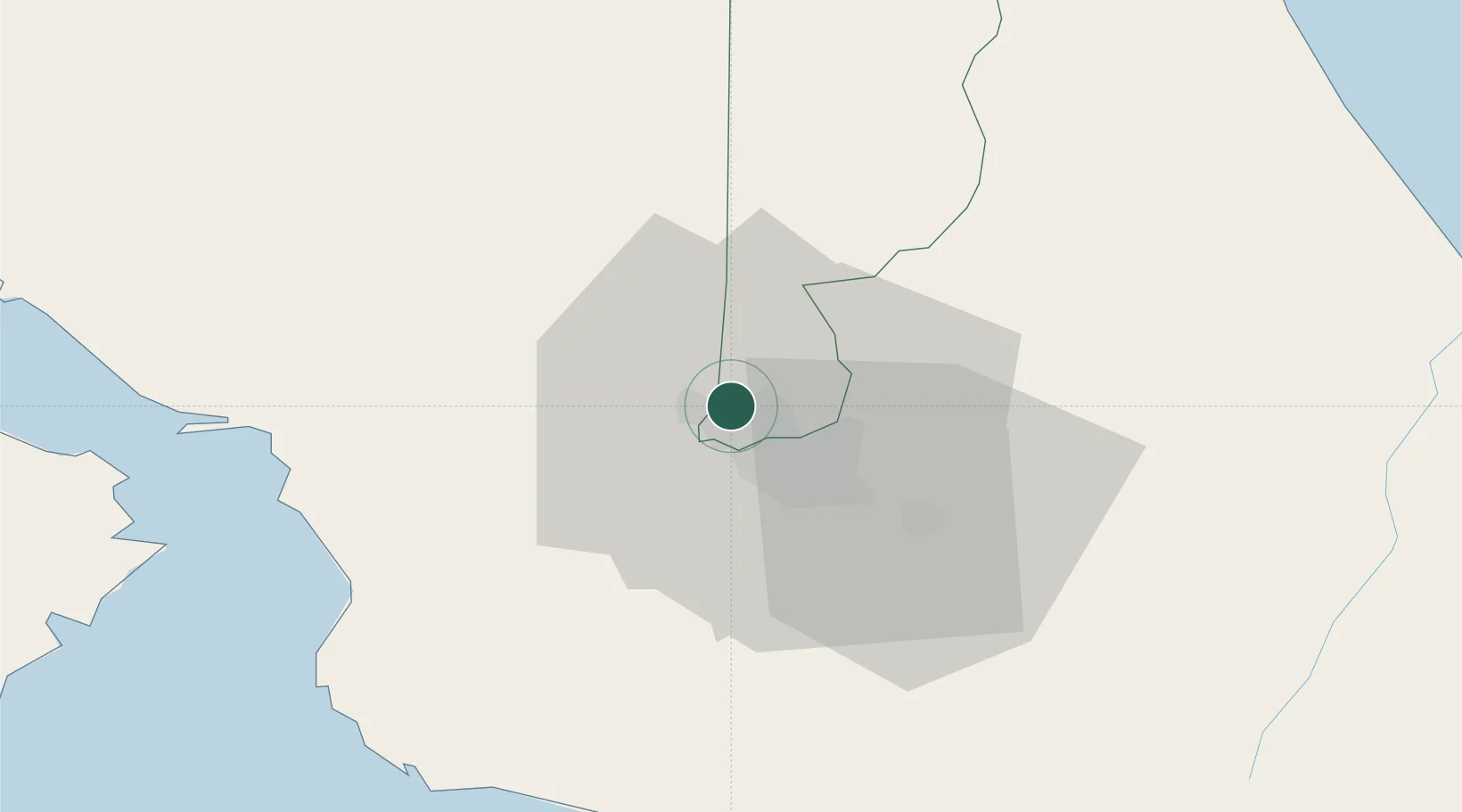
Hub Profile
Place type
Regional capital
Region
Heredia Province
Population
21,947
Time zone
America/Costa_Rica
Elevation
1,173 m
Logistics facilities
3
Location
Nearby Logistics Neighbours
Cities
- 1La Ribera3 km
- 2Barrial4 km
- 3Rio Segundo4 km
- 4Alajuela6 km
- 5San José7 km
Ports
- 1Puerto Caldera62 km
- 2Puerto Quepos63 km
- 3Puntarenas74 km
- 4Puerto Moin118 km
- 5Puerto Limon125 km
Airports
Trade Zones
DatabookThe Record of Consolidated Knowledge
Costa Rica beyond logistics?