UN/LOCODE hub · Costa Rica
CRBRL

Barrial

9.9833°, -84.1333°
2
Transport functions

Transport Functions

Road
Multimodal
UN/LOCODE

Hub Profile

Region
H
GeoNames

Location

Location of CRBRL
Natural Earth 10m (public domain) · H · CRBRL · 9.98, -84.13GoogleOSMYandex

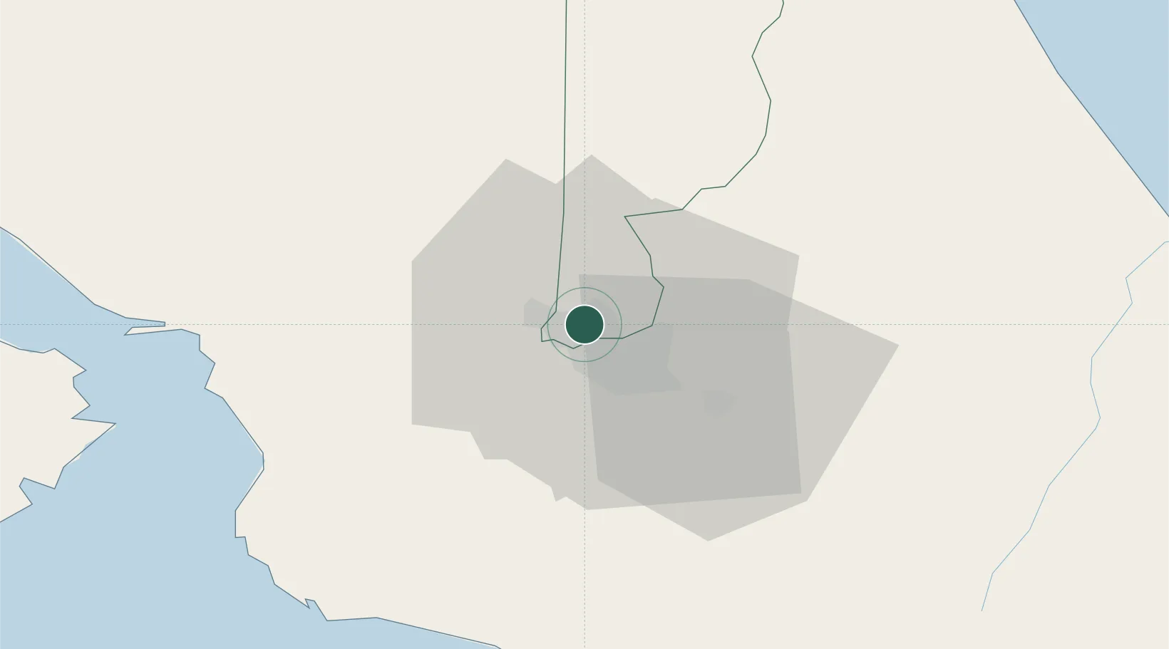
Nearby Logistics Neighbours

Cities
  1. 1Heredia4 km
  2. 2San José4 km
  3. 3Santo Domingo4 km
  4. 4La Ribera6 km
  5. 5Rio Segundo8 km
Nearest neighbours — logibook spatial index (haversine) over the source coordinates
Ports
  1. 1Puerto Quepos61 km
  2. 2Puerto Caldera64 km
  3. 3Puntarenas77 km
  4. 4Puerto Moin115 km
  5. 5Puerto Limon122 km
Nearest neighbours — logibook spatial index (haversine) over the source coordinates
Airports
  1. 1Tobías Bolaños International Airport3 km
  2. 2Juan Santamaría International Airport8 km
  3. 3Guapiles Airport45 km
  4. 4Quepos Managua Airport60 km
  5. 5La Fortuna Arenal Airport73 km
Nearest neighbours — logibook spatial index (haversine) over the source coordinates
Trade Zones
  1. 1Metro Free Zone2 km
  2. 2Zona Franca Metropolitana, SA2 km
  3. 3Global Park Free Zone2 km
  4. 4Centro de Negocios Eurocenter2 km
  5. 5UltraPark II3 km
Nearest neighbours — logibook spatial index (haversine) over the source coordinates
DatabookThe Record of Consolidated Knowledge
Costa Rica beyond logistics?
Browse databook

All Sources

LocationsUN/LOCODE
UN/LOCODE — free
Portsthe NGA World Port Index
Public domain (US gov)
AirportsOurAirports
Public domain
Trade Zonesthe World Bank SEZ database
CC BY 4.0
Trade ZonesOpen Zone Map
CC BY
← Costa Rica locations