Transport Functions
Multimodal
Hub Profile
Place type
Populated place
Region
Guangdong
Time zone
Asia/Shanghai
Elevation
85 m
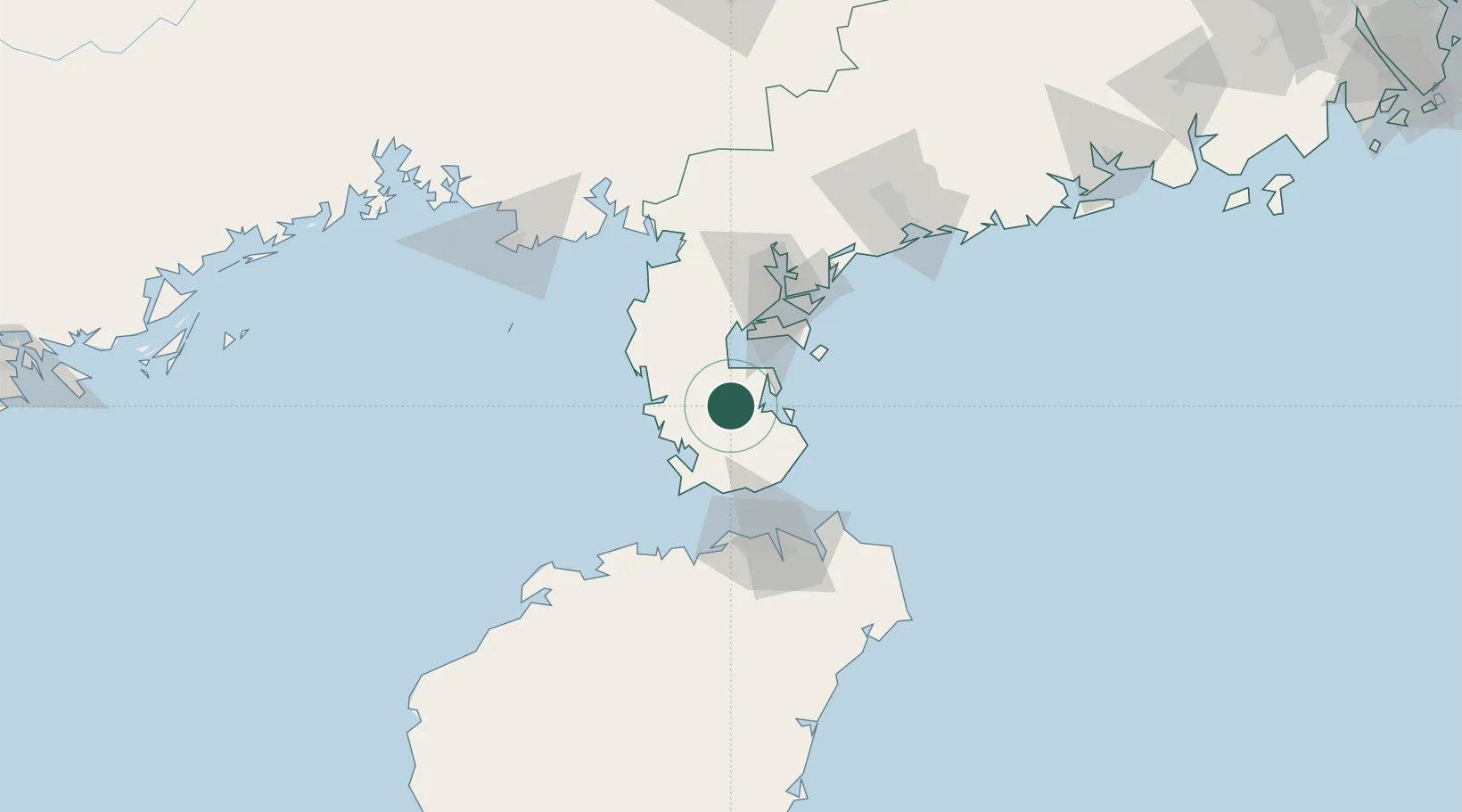
Location
Nearby Logistics Neighbours
Cities
- 1Liusha28 km
- 2Dongjiaotou Pt45 km
- 3Naozhou52 km
- 4Zhanjiang Pt58 km
- 5Chikan69 km
Airports
- 1Suixi Air Base81 km
- 2Haikou Meilan International Airport87 km
- 3Zhanjiang Wuchuan International Airport101 km
- 4Jialaishi Air Base117 km
- 5Beihai Fucheng Airport133 km
DatabookThe Record of Consolidated Knowledge
China beyond logistics?