UN/LOCODE hub · China
CNXGA

Xingang

23.0333°, 113.1000°
1
Transport functions

Transport Functions

Port
UN/LOCODE

Hub Profile

Place type
Populated place
GeoNames
Region
Guangdong
GeoNames
Time zone
Asia/Shanghai
GeoNames
Elevation
16 m
GeoNames

Location

Location of CNXGA
Natural Earth 10m (public domain) · Guangdong · CNXGA · 23.03, 113.10GoogleOSMYandex

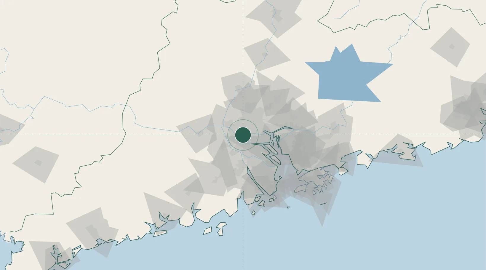
Nearby Logistics Neighbours

Cities
  1. 1Shiwan4 km
  2. 2Sanshui5 km
  3. 3Yanbu10 km
  4. 4Pingzhou12 km
  5. 5Foshan New Pt12 km
Nearest neighbours — logibook spatial index (haversine) over the source coordinates
Ports
  1. 1Guangzhou17 km
  2. 2Huangpu33 km
  3. 3Huangpuxingang41 km
  4. 4Shekou101 km
  5. 5Zhuhai102 km
Nearest neighbours — logibook spatial index (haversine) over the source coordinates
Airports
  1. 1Foshan Shadi Airport6 km
  2. 2Guangzhou Baiyun International Airport45 km
  3. 3Shenzhen Bao'an International Airport84 km
  4. 4Macau International Airport111 km
  5. 5Hong Kong International Airport116 km
Nearest neighbours — logibook spatial index (haversine) over the source coordinates
Trade Zones
  1. 1Foshan Chancheng Economic Development Zone8 km
  2. 2Fushan Industrial Park14 km
  3. 3Nanhai High-tech Industrial Development Zone14 km
  4. 4Nanhai Economic Development Zone18 km
  5. 5Sanshui Industrial Park28 km
Nearest neighbours — logibook spatial index (haversine) over the source coordinates
DatabookThe Record of Consolidated Knowledge
China beyond logistics?
Browse databook

All Sources

LocationsUN/LOCODE
UN/LOCODE — free
Portsthe NGA World Port Index
Public domain (US gov)
AirportsOurAirports
Public domain
Trade Zonesthe World Bank SEZ database
CC BY 4.0
Trade ZonesOpen Zone Map
CC BY
← China locations