Export Processing Zone · China

Suixi Economic Development Zone Active
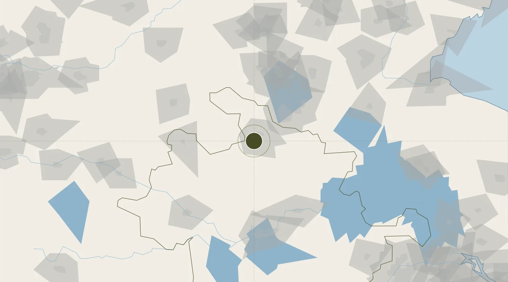
33.9025°, 116.7610°
1,460 ha
Zone area
263.7 km
Nearest port
57.6 km
Nearest airport

Gateway access

Nearest neighbours — logibook spatial index (haversine) over the source coordinates

Zone profile

Zone type
Export Processing Zone
Open Zone Map
Region
Anhui
Open Zone Map
Status
Active
Open Zone Map
Management
Public
Open Zone Map
Operator
Administrative Committee of Suixi County Economic Development Zone, Anhui Province
Open Zone Map
Legal framework
Unavailable
Open Zone Map

Location

Location of ozm-1314
Natural Earth 10m (public domain) · Anhui · ozm-1314 · 33.90, 116.76GoogleOSMYandex

Nearby Logistics Neighbours

Ports
  1. 1Lianyungang264 km
  2. 2Lanshan272 km
  3. 3Nanjing274 km
  4. 4Rizhao305 km
  5. 5Yangzhou308 km
Nearest neighbours — logibook spatial index (haversine) over the source coordinates
Airports
  1. 1Xuzhou Daguozhang Air Base58 km
  2. 2Xuzhou Guanyin International Airport75 km
  3. 3Bengbu Tenghu Airport86 km
  4. 4Bengbu Tenghu Airport128 km
  5. 5Shangqiu Air Base134 km
Nearest neighbours — logibook spatial index (haversine) over the source coordinates
Cities
  1. 1Xiaoxian35 km
  2. 2Mengcheng73 km
  3. 3Zaozhuang114 km
  4. 4Bengbu124 km
  5. 5Pizhou125 km
Nearest neighbours — logibook spatial index (haversine) over the source coordinates
DatabookThe Record of Consolidated Knowledge
China beyond logistics?
Browse databook

All Sources

Trade ZonesOpen Zone Map
CC BY
Portsthe NGA World Port Index
Public domain (US gov)
AirportsOurAirports
Public domain
LocationsUN/LOCODE
UN/LOCODE — free
← China trade zones