Transport Functions
Port
Hub Profile
Place type
District seat
Region
Heilongjiang
Time zone
Asia/Shanghai
Elevation
91 m
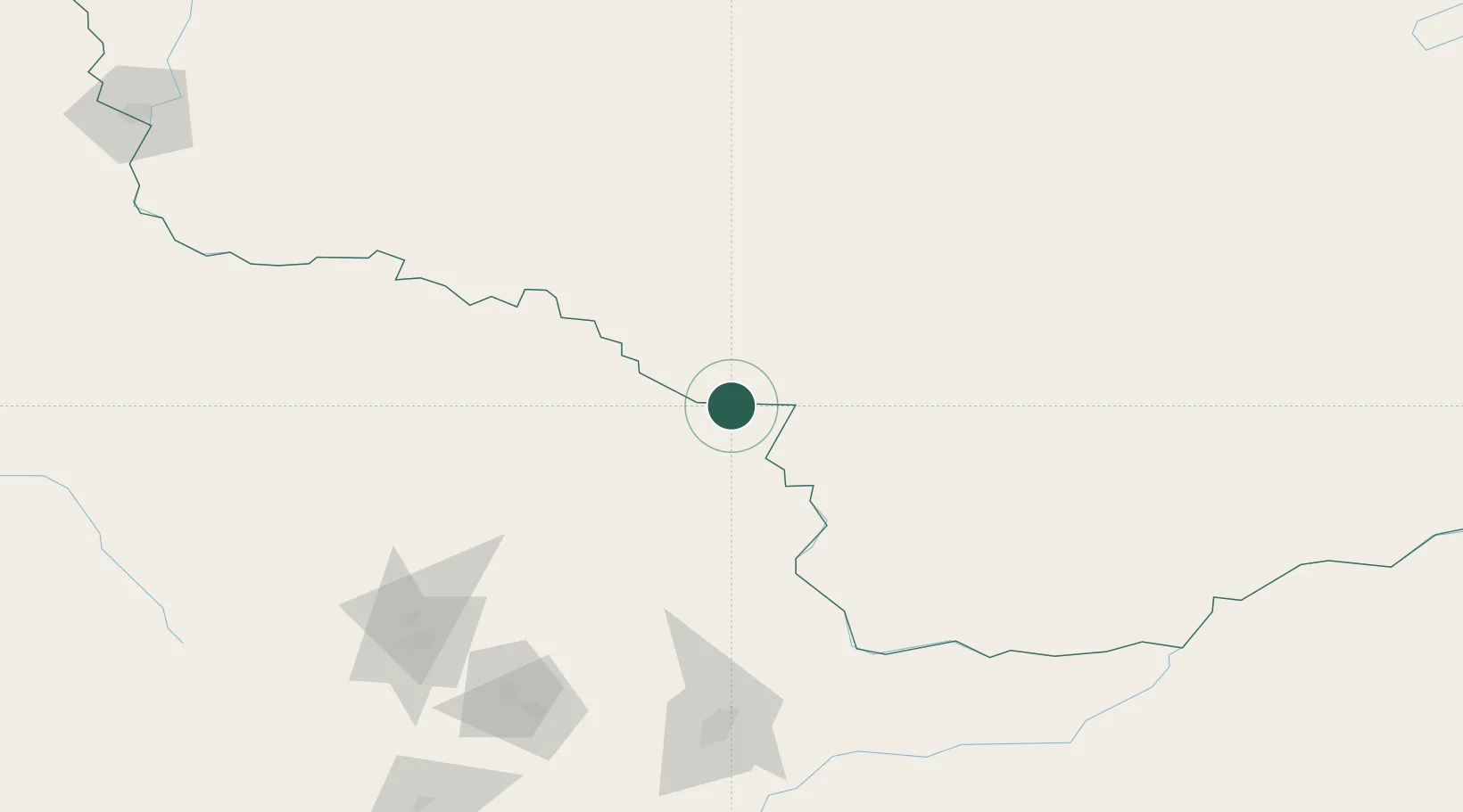
Location
Nearby Logistics Neighbours
Ports
- 1Vladivostok651 km
- 2Slavyanka672 km
- 3Pos'yet692 km
- 4Zarubino695 km
- 5Nakhodka702 km
Airports
- 1Yichun Lindu Airport159 km
- 2Jiamusi Songjiang International Airport225 km
- 3Jiansanjiang Shidi Airport259 km
- 4Heihe Aihui Airport264 km
- 5Ignatyevo Airport274 km
Trade Zones
DatabookThe Record of Consolidated Knowledge
China beyond logistics?