Transport Functions
Road
Multimodal
Hub Profile
Place type
District seat
Region
Guangxi
Time zone
Asia/Shanghai
Elevation
70 m
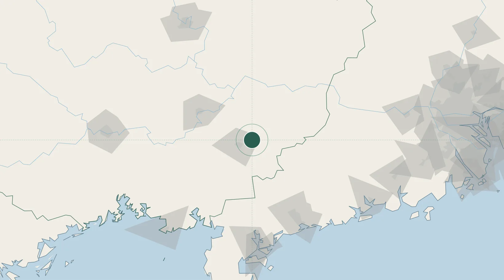
Location
Nearby Logistics Neighbours
Cities
- 1Yulin20 km
- 2Shuikou81 km
- 3Guicheng86 km
- 4Hezhou109 km
- 5Shuidong Pt120 km
Ports
- 1Shui Dong156 km
- 2Zhanjiang167 km
- 3Beihai188 km
- 4Qinzhou210 km
- 5Fang-Cheng230 km
Airports
- 1Yulin Fumian Airport37 km
- 2Guiping Mengxu Air Base78 km
- 3Wuzhou Xijiang Airport110 km
- 4Zhanjiang Wuchuan International Airport138 km
- 5Suixi Air Base146 km
DatabookThe Record of Consolidated Knowledge
China beyond logistics?