Transport Functions
Port
Hub Profile
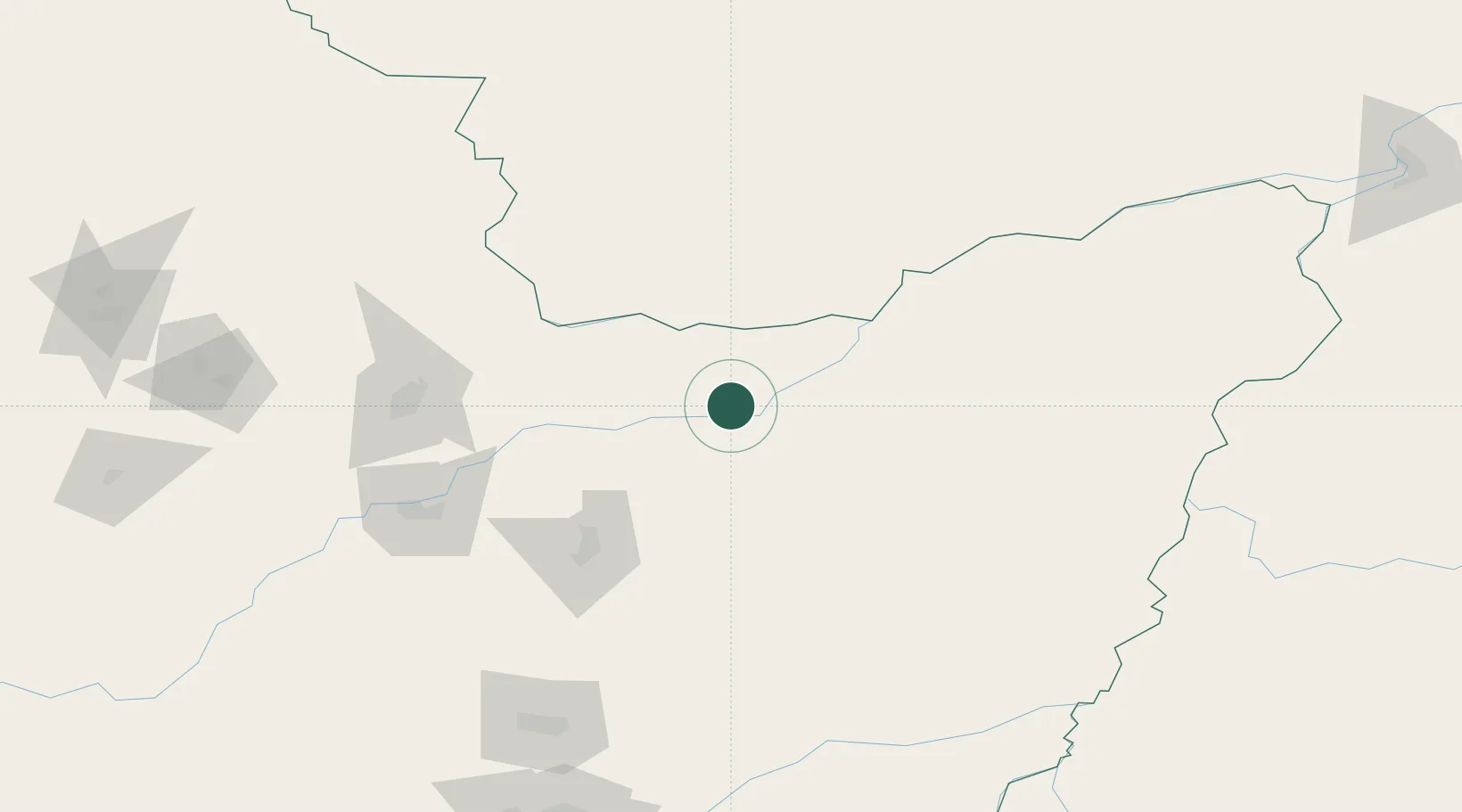
Place type
Populated place
Region
Heilongjiang
Time zone
Asia/Shanghai
Elevation
60 m
Location
Nearby Logistics Neighbours
Ports
- 1Vladivostok466 km
- 2Slavyanka494 km
- 3Nakhodka507 km
- 4Vostochnyy515 km
- 5Zarubino522 km
Airports
- 1Jiansanjiang Shidi Airport65 km
- 2Jiamusi Songjiang International Airport117 km
- 3Fuyuan Dongji Airport213 km
- 4Dalnerechensk Airport214 km
- 5Yichun Lindu Airport218 km
DatabookThe Record of Consolidated Knowledge
China beyond logistics?