Transport Functions
Port
Road
Multimodal
Border Crossing
Hub Profile
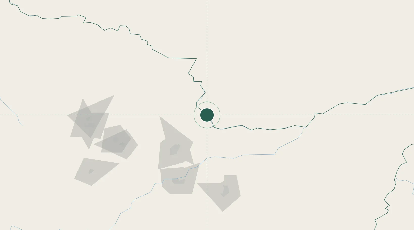
Place type
Populated place
Region
Heilongjiang
Time zone
Asia/Shanghai
Elevation
211 m
Location
Nearby Logistics Neighbours
Ports
- 1Vladivostok541 km
- 2Slavyanka563 km
- 3Pos'yet586 km
- 4Zarubino588 km
- 5Nakhodka591 km
Airports
- 1Jiamusi Songjiang International Airport123 km
- 2Yichun Lindu Airport138 km
- 3Jiansanjiang Shidi Airport163 km
- 4Fuyuan Dongji Airport263 km
- 5Jixi Xingkaihu Airport293 km
Trade Zones
DatabookThe Record of Consolidated Knowledge
China beyond logistics?