Transport Functions
Port
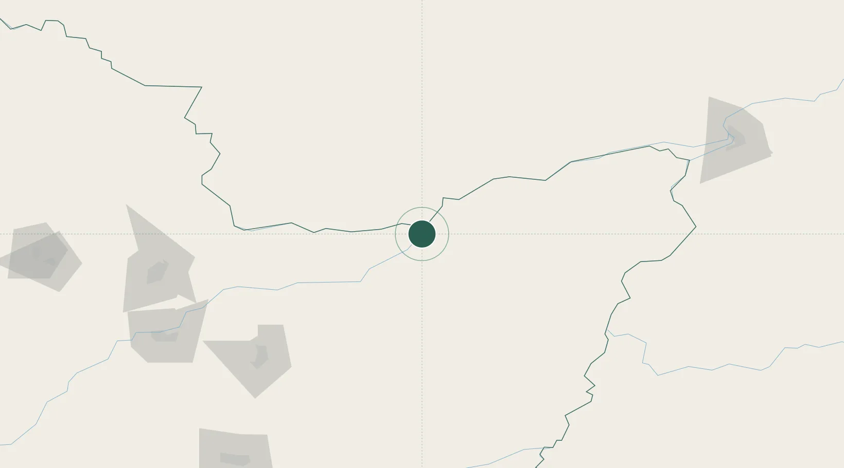
Hub Profile
Place type
Populated place
Region
Heilongjiang
Time zone
Asia/Shanghai
Elevation
56 m
Location
Nearby Logistics Neighbours
Ports
- 1Vladivostok507 km
- 2Slavyanka539 km
- 3Nakhodka540 km
- 4Vostochnyy547 km
- 5Zarubino569 km
Airports
- 1Jiansanjiang Shidi Airport61 km
- 2Fuyuan Dongji Airport152 km
- 3Jiamusi Songjiang International Airport178 km
- 4Dalnerechensk Airport218 km
- 5Khabarovsk Novy Airport222 km
DatabookThe Record of Consolidated Knowledge
China beyond logistics?