Seaport · Russia
NakhodkaRUNJK
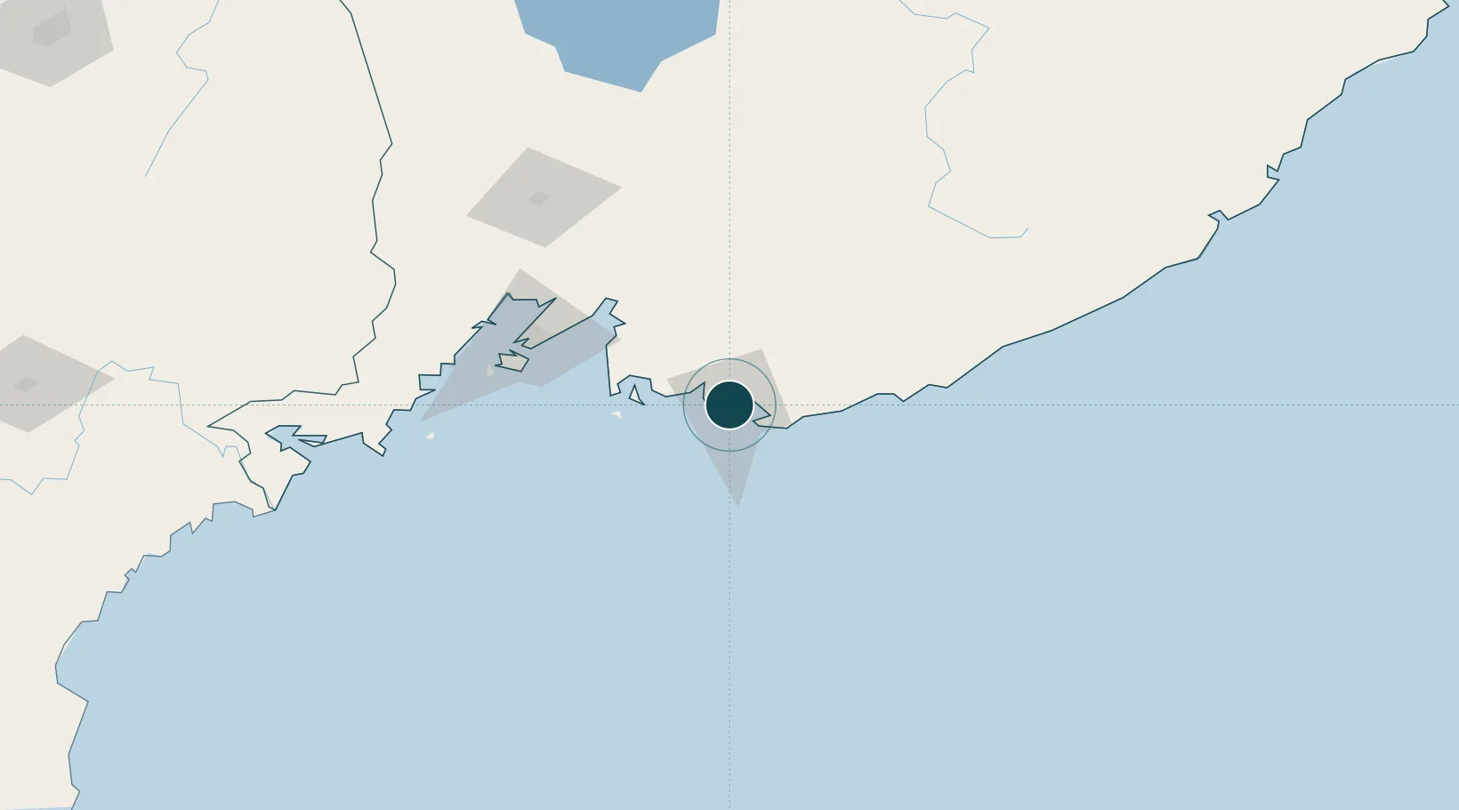
42.8000°, 132.8833°
11.6 m
Channel depth
1
Container terminals
9.9
Port liner connectivity
Channel & Berth Profile
Pilotage, Tugs & Services
Pilotage compulsoryYES
Pilotage availableYES
Pilotage advisableYES
Tug assistanceYES
Potable waterYES
Diesel bunkersYES
MedicalYES
Garbage disposalNO
Facilities & Capabilities
Container—
Ro-Ro—
Liquid bulk—
Dry bulk—
Oil terminal—
Break bulk—
Dry dock—
RepairsNO
BunkeringYES
Rail linkYES
Dangerous cargo—
ISPS security—
Harbour Specifications
Harbour size
Small
Harbour type
Coastal (Natural)
Shelter
Fair
Water body
Sea of Japan; North Pacific Ocean
Tidal range
1.5 m
Pilotage
Yes
Liner Connectivity
9.9
PLSCI
Port Liner Shipping Connectivity Index for Nakhodka, as published by UNCTAD for the latest available quarter. Higher values indicate stronger scheduled liner-shipping integration.
Shown relative to the highest per-port PLSCI in the dataset (1,657.9).
Location
Container Terminals · 1
NAKHODKA SEA FISHING PORT (NMRP)
NMRP JSC NAKHODKA SEA FISHING PORT (NMRP)
Nearby Logistics Neighbours
Ports
- 1Vostochnyy17 km
- 2Vladivostok88 km
- 3Slavyanka123 km
- 4Zarubino148 km
- 5Pos'yet171 km
Cities
- 1Kozmino Port14 km
- 2Vostochnyy Port18 km
- 3Preobrazheniye84 km
- 4Vladivostok87 km
- 5Fish Port Terminal88 km
Airports
- 1Vladivostok International Airport89 km
- 2Vozdvizhenka Air Base146 km
- 3Chuguyevka Air Base163 km
- 4Chernigovka Air Base172 km
- 5Yanji Chaoyangchuan Airport280 km
Trade Zones
DatabookThe Record of Consolidated Knowledge
Russia beyond logistics?