Transport Functions
Port
Hub Profile
Place type
District seat
Region
Heilongjiang
Population
89,442
Time zone
Asia/Shanghai
Elevation
60 m
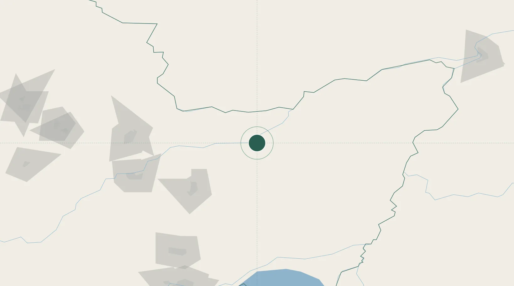
Location
Nearby Logistics Neighbours
Ports
- 1Vladivostok461 km
- 2Slavyanka490 km
- 3Nakhodka499 km
- 4Vostochnyy507 km
- 5Zarubino519 km
Airports
- 1Jiansanjiang Shidi Airport50 km
- 2Jiamusi Songjiang International Airport127 km
- 3Dalnerechensk Airport201 km
- 4Fuyuan Dongji Airport204 km
- 5Jixi Xingkaihu Airport227 km
DatabookThe Record of Consolidated Knowledge
China beyond logistics?