Runway & Layout

Airport Specifications
IATA code
DLR
ICAO code
UHHD
Airport class
Small airport
Scheduled service
Yes
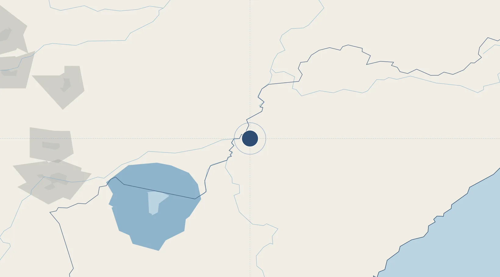
Served city
Dalnerechensk
Location
Nearby Logistics Neighbours
Airports
- 1Jiansanjiang Shidi Airport160 km
- 2Chernigovka Air Base197 km
- 3Chuguyevka Air Base200 km
- 4Jixi Xingkaihu Airport208 km
- 5Plastun Airport232 km
Ports
- 1Vladivostok341 km
- 2Nakhodka349 km
- 3Vostochnyy352 km
- 4Slavyanka384 km
- 5Zarubino418 km
Trade Zones
DatabookThe Record of Consolidated Knowledge
Russia beyond logistics?