UN/LOCODE hub · China
CNQZH
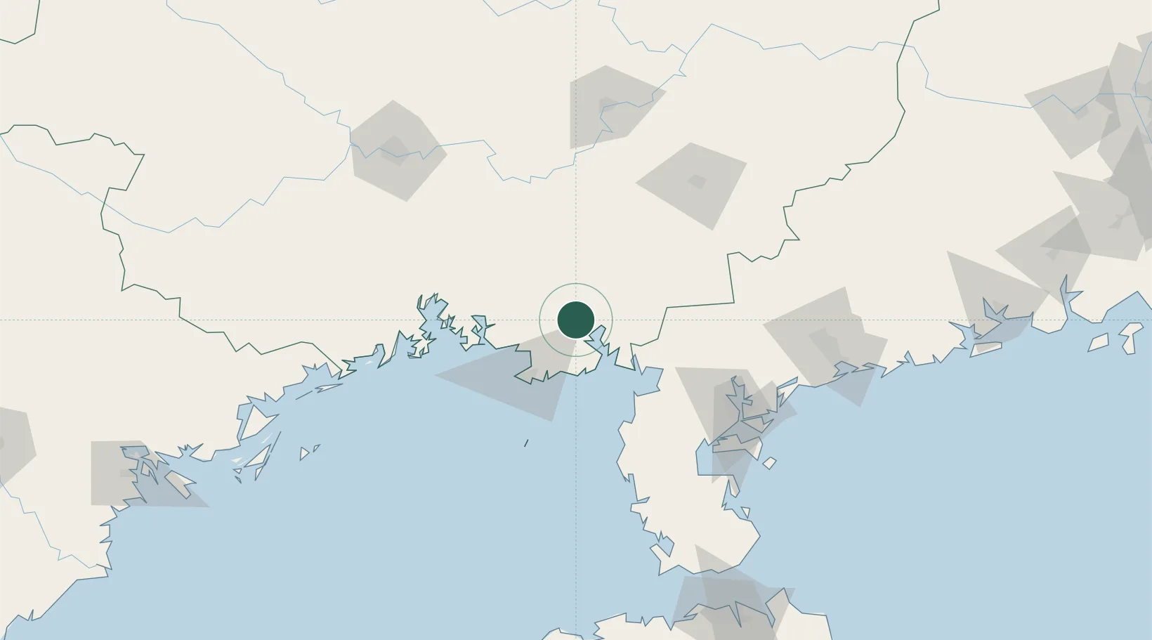
Qinzhou
21.7918°, 109.4136°
1,296,300
Population
3
Transport functions
1
Container terminals
Transport Functions
Port
Rail
Road
Hub Profile
Place type
Provincial seat
Region
Guangxi
Population
1,296,300
Time zone
Asia/Shanghai
Elevation
12 m
Logistics facilities
12
Container terminals
1
Location
Nearby Logistics Neighbours
Cities
- 1Shitoubu Pt27 km
- 2Beihai41 km
- 3Beihai Pt47 km
- 4Anpu63 km
- 5Liancheng92 km
Ports
- 1Beihai50 km
- 2Fang-Cheng110 km
- 3Zhanjiang121 km
- 4Shui Dong176 km
- 5Chiwan213 km
Airports
- 1Beihai Fucheng Airport31 km
- 2Suixi Air Base93 km
- 3Yulin Fumian Airport102 km
- 4Zhanjiang Wuchuan International Airport126 km
- 5Nanning Wuxu International Airport155 km
Trade Zones
DatabookThe Record of Consolidated Knowledge
China beyond logistics?