About
Methodology
Sources
Licensing
English
EN
English
TR
Türkçe
DE
Deutsch
FR
Français
ES
Español
IT
Italiano
PT
Português
NL
Nederlands
PL
Polski
RU
Русский
UK
Українська
CS
Čeština
RO
Română
EL
Ελληνικά
BG
Български
AR
العربية
FA
فارسی
UR
اردو
HI
हिन्दी
BN
বাংলা
ID
Bahasa Indonesia
VI
Tiếng Việt
ZH
中文
JA
日本語
KO
한국어
logibook
/
Countries
/
China
/
Locations
/
Anpu
UN/LOCODE hub ·
China
CN
APP
Anpu
21.3833°, 109.8333°
1
Transport functions
Transport Functions
Port
UN/LOCODE
Hub Profile
Place type
Local administrative seat
GeoNames
Region
Guangdong
GeoNames
Time zone
Asia/Shanghai
GeoNames
Elevation
30 m
GeoNames
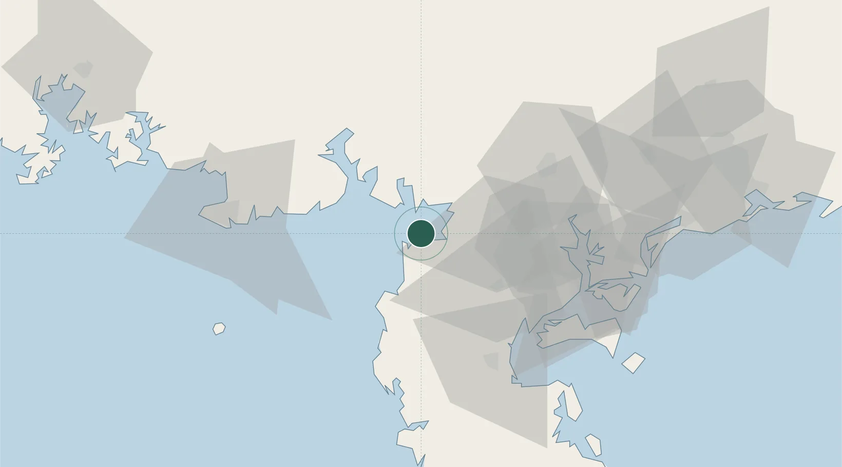
Location
Natural Earth 10m (public domain) · Guangdong · CNAPP · 21.38, 109.83
Google ↗
OSM ↗
Yandex ↗
Nearby Logistics Neighbours
Cities
1
Shitoubu Pt
37 km
2
Beitan
43 km
3
Liancheng
53 km
4
Yingzai
53 km
5
Chikan
53 km
Nearest neighbours — logibook spatial index (haversine) over the source coordinates
Ports
1
Zhanjiang
62 km
2
Beihai
80 km
3
Shui Dong
130 km
4
Qinzhou
135 km
5
Haikou
156 km
Nearest neighbours — logibook spatial index (haversine) over the source coordinates
Airports
1
Suixi Air Base
38 km
2
Beihai Fucheng Airport
59 km
3
Zhanjiang Wuchuan International Airport
79 km
4
Yulin Fumian Airport
120 km
5
Haikou Meilan International Airport
174 km
Nearest neighbours — logibook spatial index (haversine) over the source coordinates
Trade Zones
1
Linha Industrial Zone (Tieshan Port)
45 km
2
Guangdong Fenyong ASEAN Industrial Park
50 km
3
Lianjiang Economic Development Zone
52 km
4
Beibu Gulf Economic Zone
54 km
5
Hepu Industrial Park
71 km
Nearest neighbours — logibook spatial index (haversine) over the source coordinates
Data
book
The Record of Consolidated Knowledge
China beyond logistics?
Browse databook
→
All Sources
Locations
UN/LOCODE
UN/LOCODE — free
↗
Ports
the NGA World Port Index
Public domain (US gov)
↗
Airports
OurAirports
Public domain
↗
Trade Zones
the World Bank SEZ database
CC BY 4.0
↗
Trade Zones
Open Zone Map
CC BY
↗
← China locations