UN/LOCODE hub · China
CNSTB

Shitoubu Pt

21.5833°, 109.5500°
1
Transport functions

Transport Functions

Port
UN/LOCODE

Hub Profile

Region
GX
GeoNames

Location

Location of CNSTB
Natural Earth 10m (public domain) · GX · CNSTB · 21.58, 109.55GoogleOSMYandex

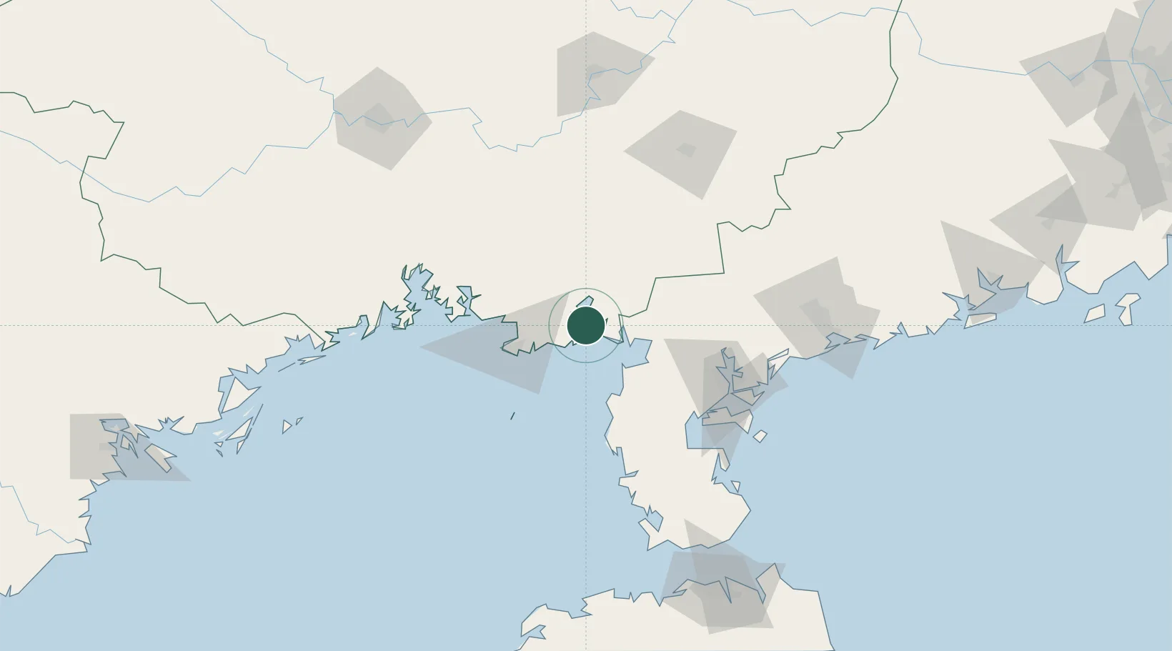
Nearby Logistics Neighbours

Cities
  1. 1Qinzhou27 km
  2. 2Anpu37 km
  3. 3Beihai37 km
  4. 4Beihai Pt47 km
  5. 5Liancheng76 km
Nearest neighbours — logibook spatial index (haversine) over the source coordinates
Ports
  1. 1Beihai51 km
  2. 2Zhanjiang98 km
  3. 3Qinzhou101 km
  4. 4Fang-Cheng125 km
  5. 5Shui Dong159 km
Nearest neighbours — logibook spatial index (haversine) over the source coordinates
Airports
  1. 1Beihai Fucheng Airport27 km
  2. 2Suixi Air Base70 km
  3. 3Zhanjiang Wuchuan International Airport108 km
  4. 4Yulin Fumian Airport111 km
  5. 5Nanning Wuxu International Airport181 km
Nearest neighbours — logibook spatial index (haversine) over the source coordinates
Trade Zones
  1. 1Linha Industrial Zone (Tieshan Port)14 km
  2. 2Beibu Gulf Economic Zone38 km
  3. 3Hepu Industrial Park38 km
  4. 4Beihai Export Processing Zone50 km
  5. 5Lianjiang Economic Development Zone73 km
Nearest neighbours — logibook spatial index (haversine) over the source coordinates
DatabookThe Record of Consolidated Knowledge
China beyond logistics?
Browse databook

All Sources

LocationsUN/LOCODE
UN/LOCODE — free
Portsthe NGA World Port Index
Public domain (US gov)
AirportsOurAirports
Public domain
Trade Zonesthe World Bank SEZ database
CC BY 4.0
Trade ZonesOpen Zone Map
CC BY
← China locations