Transport Functions
Rail
Road
Airport
Hub Profile
Place type
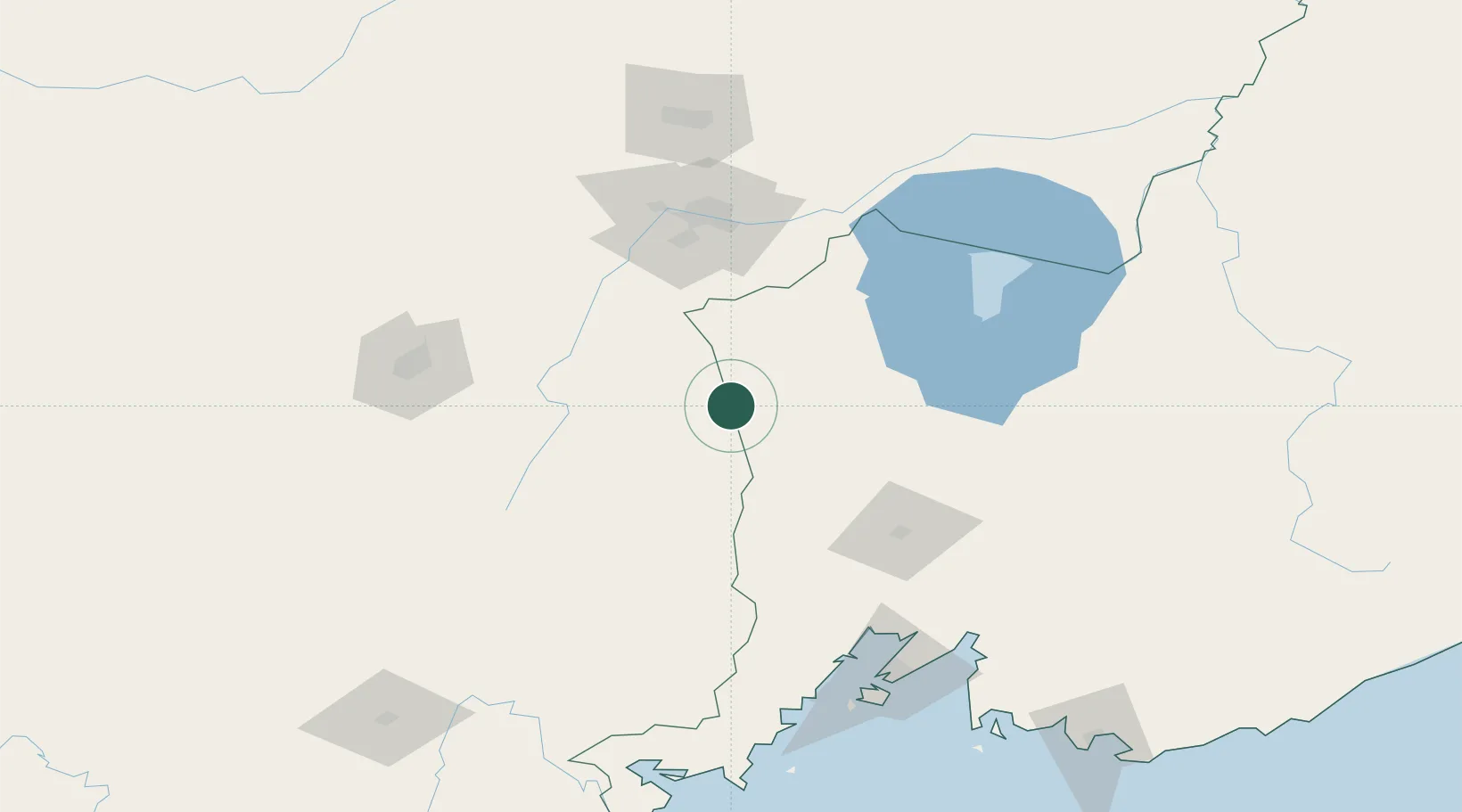
Populated place
Region
Heilongjiang
Population
98,561
Time zone
Asia/Shanghai
Elevation
441 m
Logistics facilities
1
Location
Nearby Logistics Neighbours
Cities
- 1Daan116 km
- 2Ning'an135 km
- 3Fish Port Terminal153 km
- 4Vladivostok156 km
- 5Vostokmorservice157 km
Ports
- 1Vladivostok155 km
- 2Slavyanka171 km
- 3Zarubino196 km
- 4Pos'yet196 km
- 5Nakhodka225 km
Airports
- 1Vozdvizhenka Air Base82 km
- 2Jixi Xingkaihu Airport100 km
- 3Chernigovka Air Base111 km
- 4Mudanjiang Hailang International Airport127 km
- 5Vladivostok International Airport137 km
Trade Zones
DatabookThe Record of Consolidated Knowledge
China beyond logistics?