Export Processing Zone · China

Hengnan Industrial Concentration Zone Active
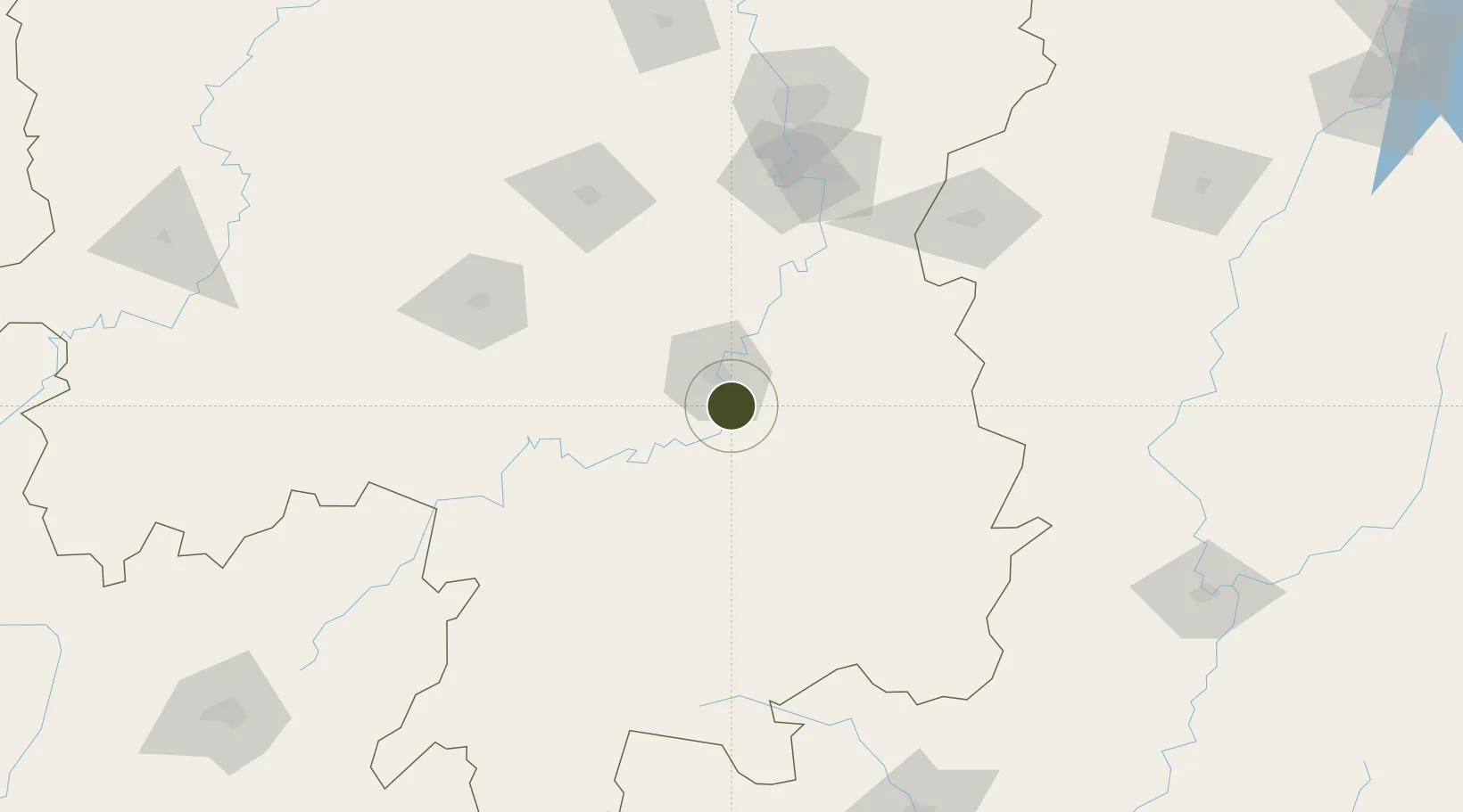
26.7546°, 112.6817°
7,200 ha
Zone area
408.3 km
Nearest port
7.3 km
Nearest airport

Gateway access

Nearest neighbours — logibook spatial index (haversine) over the source coordinates

Zone profile

Zone type
Export Processing Zone
Open Zone Map
Region
Hunan
Open Zone Map
Status
Active
Open Zone Map
Management
Public
Open Zone Map
Operator
Management Commitiee
Open Zone Map
Legal framework
The county party committee and government decide
Open Zone Map

Location

Location of ozm-1446
Natural Earth 10m (public domain) · Hunan · ozm-1446 · 26.75, 112.68GoogleOSMYandex

Nearby Logistics Neighbours

Ports
  1. 1Guangzhou408 km
  2. 2Huangpu415 km
  3. 3Huangpuxingang420 km
  4. 4Hankow454 km
  5. 5Huizhou486 km
Nearest neighbours — logibook spatial index (haversine) over the source coordinates
Airports
  1. 1Hengyang Nanyue Airport7 km
  2. 2Leiyang Air Base28 km
  3. 3Chenzhou Beihu Airport113 km
  4. 4Shaodong Airport113 km
  5. 5Yongzhou Lingling Airport116 km
Nearest neighbours — logibook spatial index (haversine) over the source coordinates
Cities
  1. 1Hengyang16 km
  2. 2Kaiyun56 km
  3. 3Longhai66 km
  4. 4Xiangtan124 km
  5. 5Liling129 km
Nearest neighbours — logibook spatial index (haversine) over the source coordinates
Trade Zones
  1. 1Hengyang Songmu Economic Development Zone24 km
  2. 2Hengdong Economic Development Zone31 km
  3. 3Leiyang Economic Development Zone41 km
  4. 4Anren Industrial Concentration Zone58 km
  5. 5Hengshan Economic Development Zone60 km
Nearest neighbours — logibook spatial index (haversine) over the source coordinates
DatabookThe Record of Consolidated Knowledge
China beyond logistics?
Browse databook

All Sources

Trade ZonesOpen Zone Map
CC BY
Portsthe NGA World Port Index
Public domain (US gov)
AirportsOurAirports
Public domain
LocationsUN/LOCODE
UN/LOCODE — free
← China trade zones