Transport Functions
Rail
Road
Airport
Hub Profile
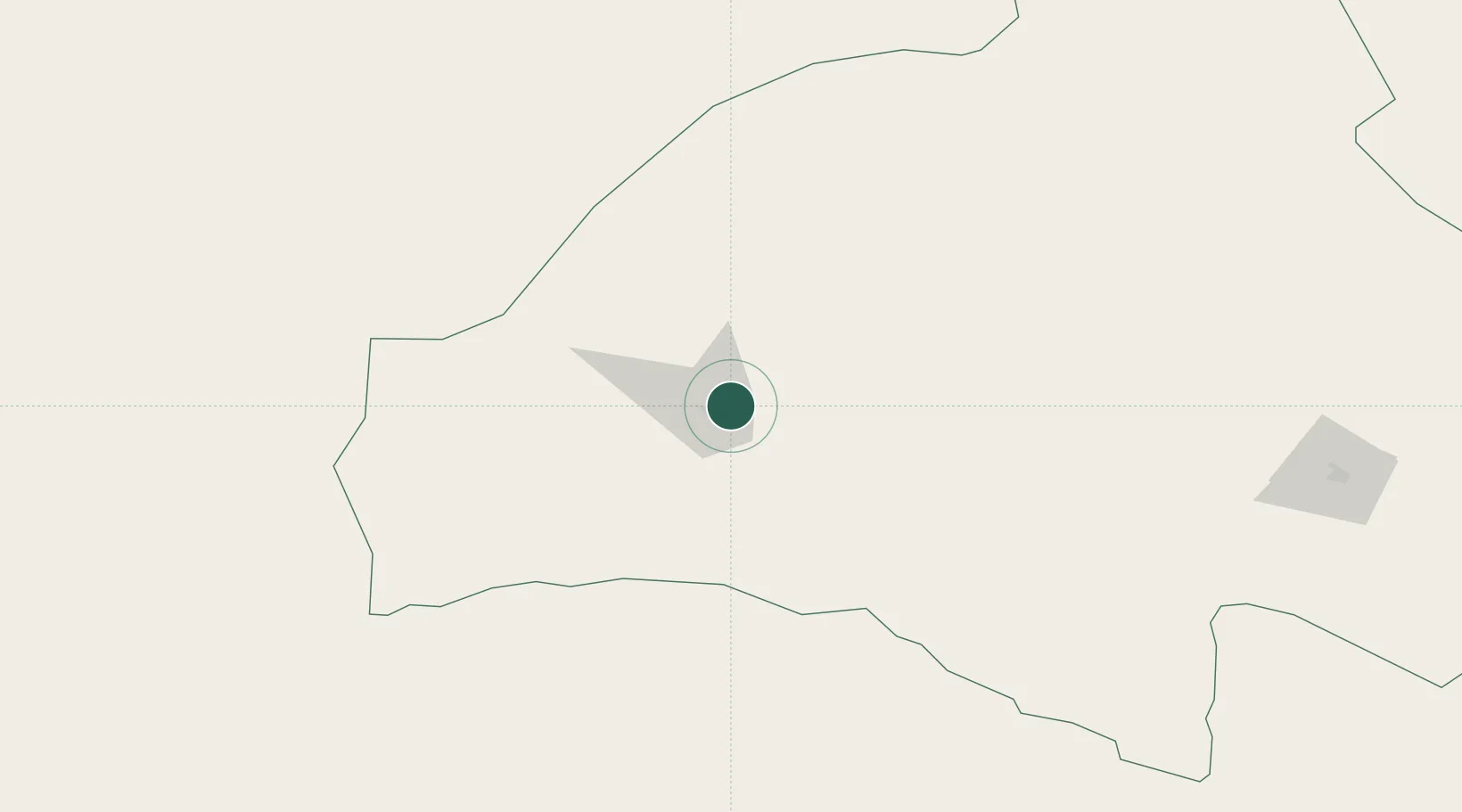
Place type
District seat
Region
Gansu
Population
186,027
Time zone
Asia/Shanghai
Elevation
1,131 m
Location
Nearby Logistics Neighbours
Ports
- 1Chittagong2001 km
- 2Mongla2023 km
- 3Calcutta2046 km
- 4Hankow2066 km
- 5Haldia Port2110 km
Airports
- 1Dunhuang Mogao International Airport12 km
- 2Hami Airport311 km
- 3Jiayuguan International Airport315 km
- 4Yaerbashi Test Range360 km
- 5Qingshui Air Base366 km
Trade Zones
DatabookThe Record of Consolidated Knowledge
China beyond logistics?