Export Processing Zone · China

Yuanling Industrial Concentration Zone Active
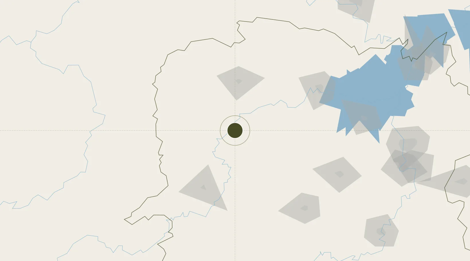
28.4121°, 110.4378°
300 ha
Zone area
443.6 km
Nearest port
77.0 km
Nearest airport

Gateway access

Nearest neighbours — logibook spatial index (haversine) over the source coordinates

Zone profile

Zone type
Export Processing Zone
Open Zone Map
Region
Hunan
Open Zone Map
Status
Active
Open Zone Map
Management
Public
Open Zone Map
Operator
Hunan Yuanling Industrial Concentration Area Management Committee
Open Zone Map
Legal framework
Construction began in August 2009, and it was approved as a provincial industrial concentration zone by the provincial government in December 2012.
Open Zone Map

Location

Location of ozm-1088
Natural Earth 10m (public domain) · Hunan · ozm-1088 · 28.41, 110.44GoogleOSMYandex

Nearby Logistics Neighbours

Ports
  1. 1Hankow444 km
  2. 2Guangzhou652 km
  3. 3Huangpu663 km
  4. 4Huangpuxingang670 km
  5. 5Shekou745 km
Nearest neighbours — logibook spatial index (haversine) over the source coordinates
Airports
  1. 1Zhangjiajie Hehua International Airport77 km
  2. 2Xiangxi Biancheng Airport90 km
  3. 3Tongren Fenghuang Airport125 km
  4. 4Huaihua Zhijiang Airport130 km
  5. 5Changde Taohuayuan Airport130 km
Nearest neighbours — logibook spatial index (haversine) over the source coordinates
Cities
  1. 1Jishou71 km
  2. 2Zhangjiajie77 km
  3. 3Huaihua103 km
  4. 4Jiangsi124 km
  5. 5Changde139 km
Nearest neighbours — logibook spatial index (haversine) over the source coordinates
DatabookThe Record of Consolidated Knowledge
China beyond logistics?
Browse databook

All Sources

Trade ZonesOpen Zone Map
CC BY
Portsthe NGA World Port Index
Public domain (US gov)
AirportsOurAirports
Public domain
LocationsUN/LOCODE
UN/LOCODE — free
← China trade zones