UN/LOCODE hub · China
CNHIG

Haikou Pt

20.0333°, 110.1667°
1
Transport functions

Transport Functions

Port
Haikou Pt is also a profiled seaport →
UN/LOCODE

Hub Profile

Region
HI
GeoNames

Location

Location of CNHIG
Natural Earth 10m (public domain) · HI · CNHIG · 20.03, 110.17GoogleOSMYandex

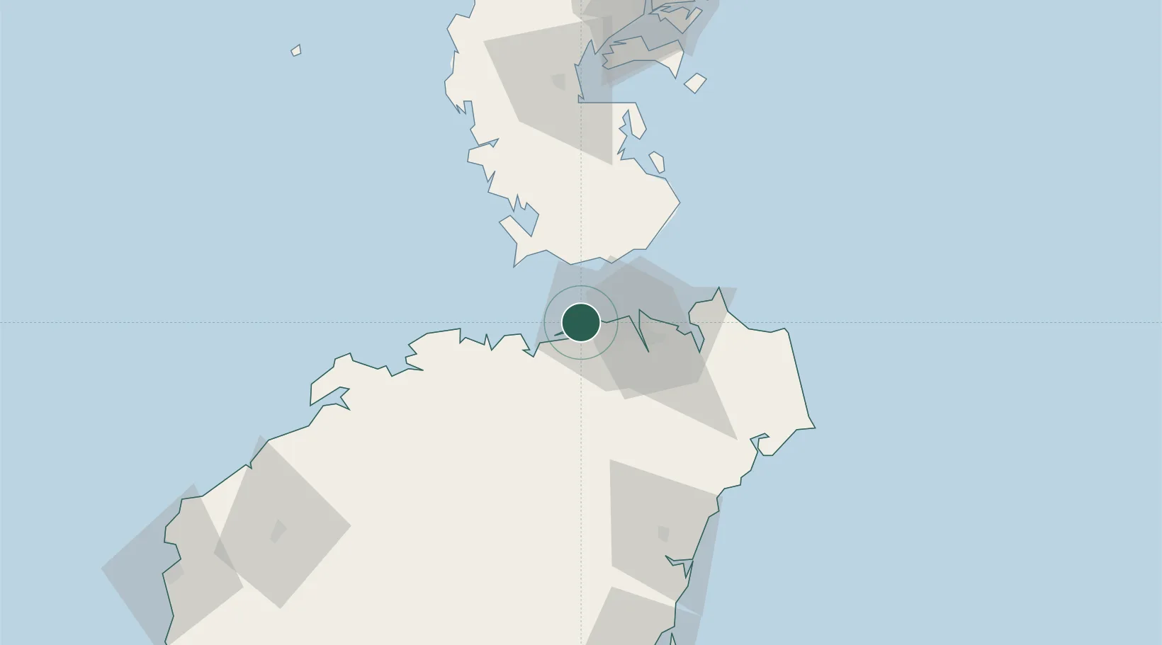
Nearby Logistics Neighbours

Cities
  1. 1Haikou12 km
  2. 2Macun18 km
  3. 3Dongjiaotou Pt42 km
  4. 4Dongguo70 km
  5. 5Qinglan Pt87 km
Nearest neighbours — logibook spatial index (haversine) over the source coordinates
Ports
  1. 1Chiwan16 km
  2. 2Yangpu108 km
  3. 3Zhanjiang132 km
  4. 4Shui Dong187 km
  5. 5Basuo193 km
Nearest neighbours — logibook spatial index (haversine) over the source coordinates
Airports
  1. 1Haikou Meilan International Airport33 km
  2. 2Jialaishi Air Base59 km
  3. 3Qionghai Bo'ao Airport104 km
  4. 4Suixi Air Base152 km
  5. 5Zhanjiang Wuchuan International Airport167 km
Nearest neighbours — logibook spatial index (haversine) over the source coordinates
DatabookThe Record of Consolidated Knowledge
China beyond logistics?
Browse databook

All Sources

LocationsUN/LOCODE
UN/LOCODE — free
Portsthe NGA World Port Index
Public domain (US gov)
AirportsOurAirports
Public domain
Trade Zonesthe World Bank SEZ database
CC BY 4.0
Trade ZonesOpen Zone Map
CC BY
← China locations