Transport Functions
Multimodal
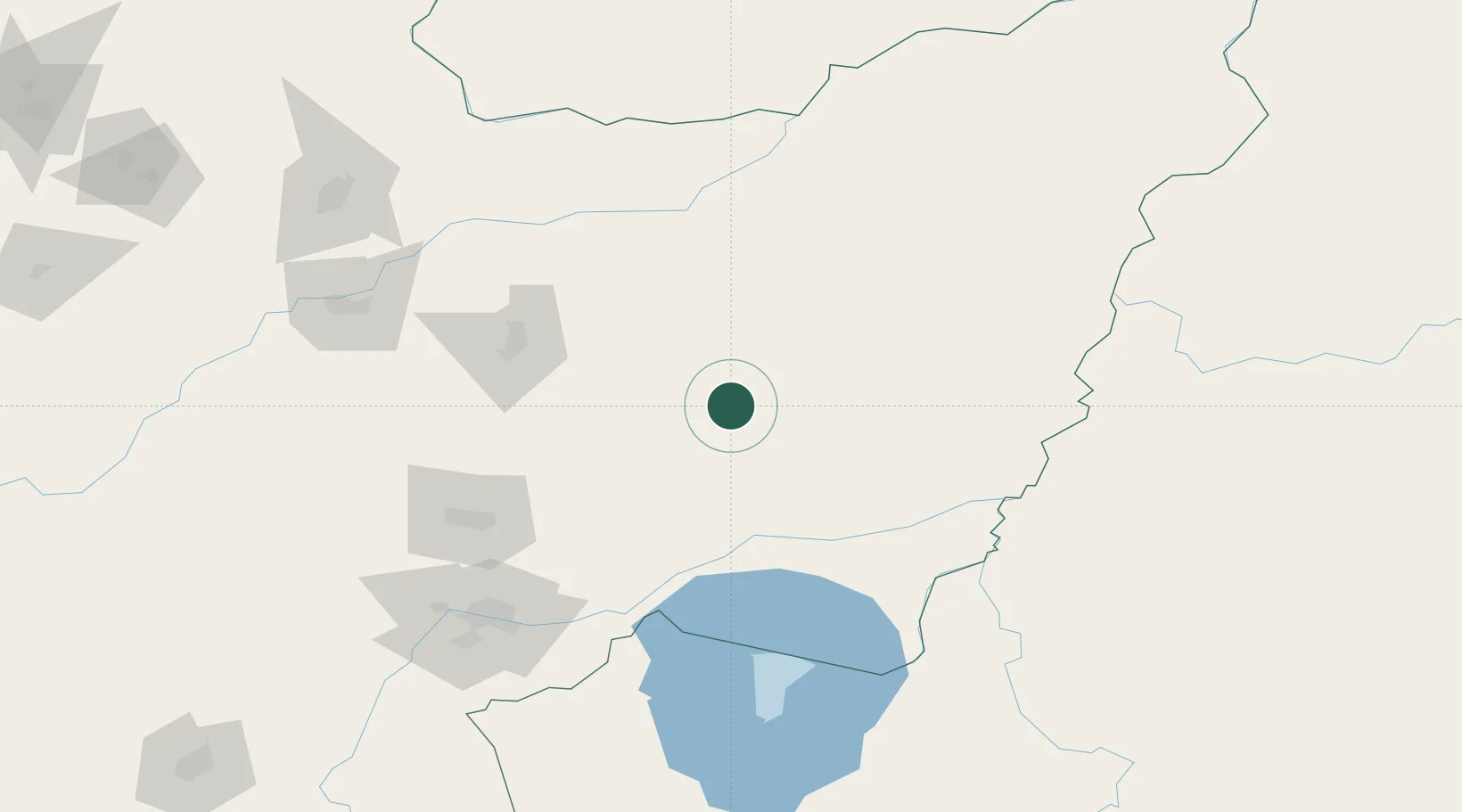
Hub Profile
Place type
District seat
Region
Heilongjiang
Population
62,991
Time zone
Asia/Shanghai
Elevation
94 m
Location
Nearby Logistics Neighbours
Ports
- 1Vladivostok358 km
- 2Slavyanka389 km
- 3Nakhodka395 km
- 4Vostochnyy403 km
- 5Zarubino419 km
Airports
- 1Jiansanjiang Shidi Airport95 km
- 2Dalnerechensk Airport128 km
- 3Jixi Xingkaihu Airport138 km
- 4Jiamusi Songjiang International Airport145 km
- 5Chernigovka Air Base223 km
Trade Zones
DatabookThe Record of Consolidated Knowledge
China beyond logistics?