Transport Functions
Port
Rail
Road
Multimodal
Hub Profile
Place type
Populated place
Region
Guangxi
Time zone
Asia/Shanghai
Elevation
132 m
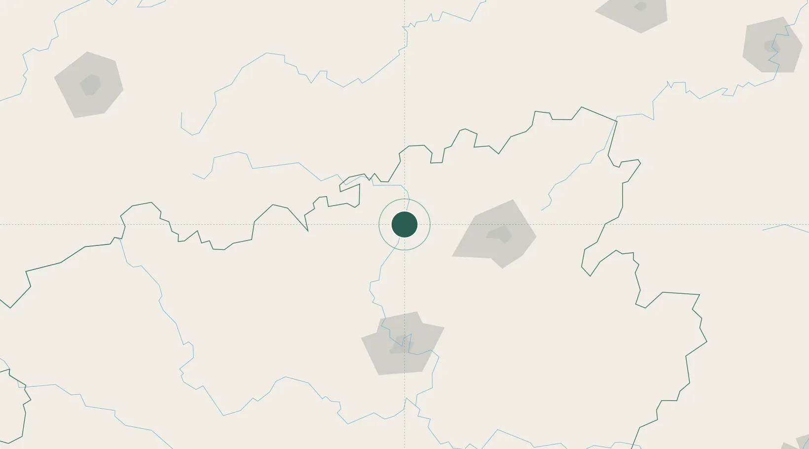
Location
Nearby Logistics Neighbours
Ports
- 1Qinzhou413 km
- 2Fang-Cheng417 km
- 3Beihai433 km
- 4Guangzhou459 km
- 5Shui Dong463 km
Airports
- 1Guilin Liangjiang International Airport63 km
- 2Liping Airport110 km
- 3Liuzhou Bailian Airport / Bailian Air Base129 km
- 4Libo Airport148 km
- 5Hechi Jinchengjiang Airport184 km
Trade Zones
DatabookThe Record of Consolidated Knowledge
China beyond logistics?