Runway & Layout

Runways · 1
| Runway | Dimensions | Surface | True heading | Lit |
|---|---|---|---|---|
| 03/21 | 7,546 × 90ft | Asphalt | — | — |
Airport Specifications
IATA code
LLB
ICAO code
ZULB
Airport class
Small airport
Scheduled service
Yes
Runway surface
Asphalt
Served city
Qiannan (Libo)
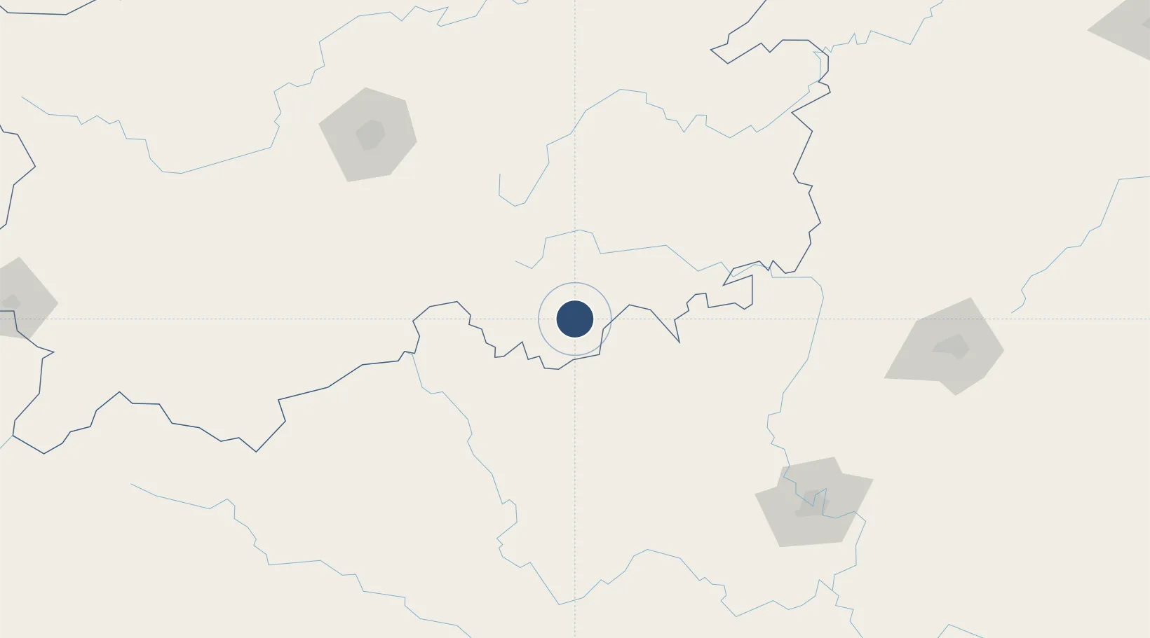
Location
Nearby Logistics Neighbours
Airports
- 1Hechi Jinchengjiang Airport76 km
- 2Liping Airport153 km
- 3Guiyang Longdongbao International Airport168 km
- 4Kaili Huangping Airport169 km
- 5Jiuzhou Airport173 km
Cities
- 1Huangjiang74 km
- 2Kaili126 km
- 3Defeng144 km
- 4Danzhou148 km
- 5Guiyang178 km
Ports
- 1Fang-Cheng414 km
- 2Qinzhou418 km
- 3Beihai456 km
- 4Cam Pha495 km
- 5Hon Gai509 km
DatabookThe Record of Consolidated Knowledge
China beyond logistics?