Transport Functions
Rail
Road
Hub Profile
Place type
Provincial seat
Region
Guangxi
Population
910,282
Time zone
Asia/Shanghai
Elevation
72 m
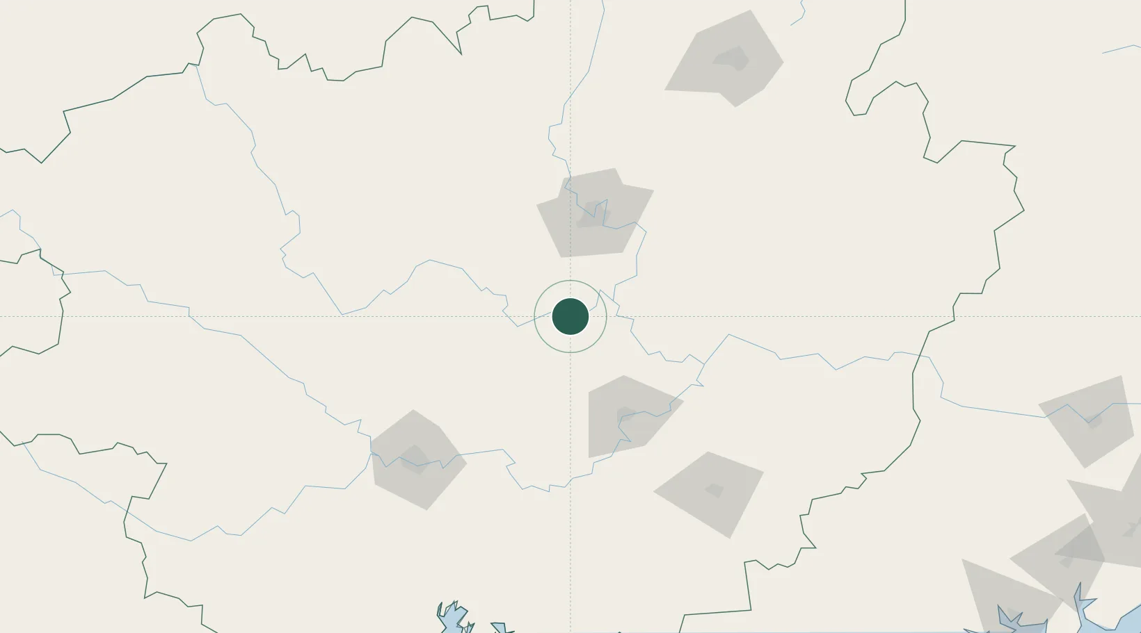
Location
Nearby Logistics Neighbours
Ports
- 1Qinzhou230 km
- 2Fang-Cheng236 km
- 3Beihai247 km
- 4Zhanjiang301 km
- 5Shui Dong309 km
Airports
Trade Zones
DatabookThe Record of Consolidated Knowledge
China beyond logistics?