Transport Functions
Multimodal
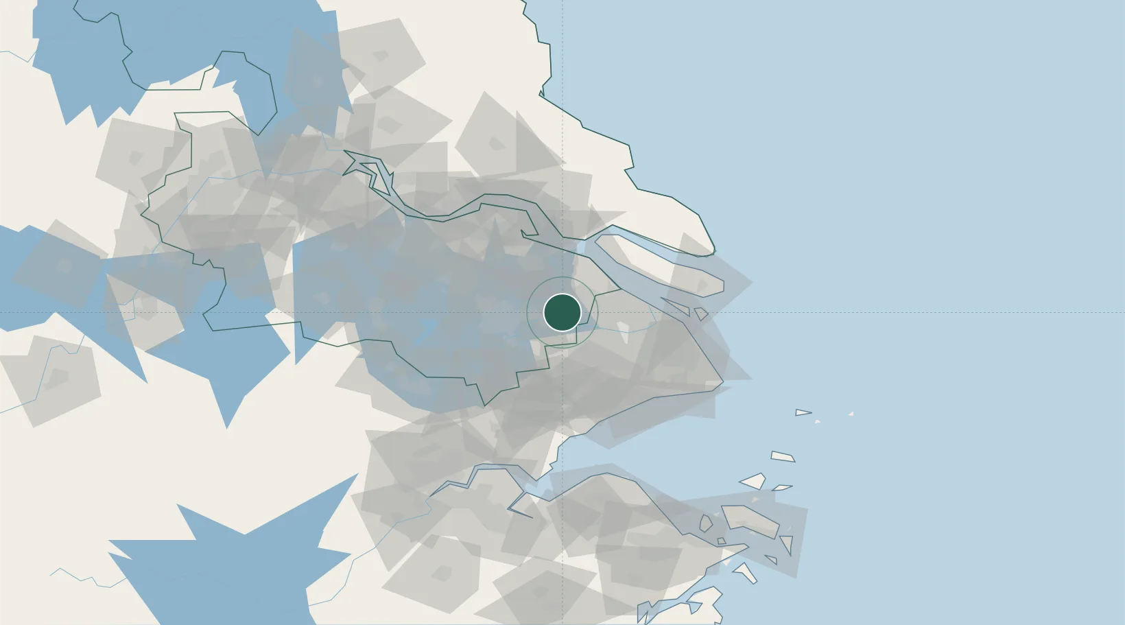
Hub Profile
Place type
District seat
Region
Jiangsu
Population
2,092,496
Time zone
Asia/Shanghai
Elevation
10 m
Logistics facilities
1
Location
Nearby Logistics Neighbours
Cities
- 1Anting17 km
- 2Jiading25 km
- 3Suzhou29 km
- 4Taicang Pt37 km
- 5Chongming38 km
Airports
DatabookThe Record of Consolidated Knowledge
China beyond logistics?