UN/LOCODE hub · China
CNBIJ

Beijiao

22.9167°, 113.2000°
1
Transport functions

Transport Functions

Port
UN/LOCODE

Hub Profile

Place type
Local administrative seat
GeoNames
Region
Guangdong
GeoNames
Time zone
Asia/Shanghai
GeoNames
Elevation
5 m
GeoNames
Logistics facilities
2
UN/LOCODE

Location

Location of CNBIJ
Natural Earth 10m (public domain) · Guangdong · CNBIJ · 22.92, 113.20GoogleOSMYandex

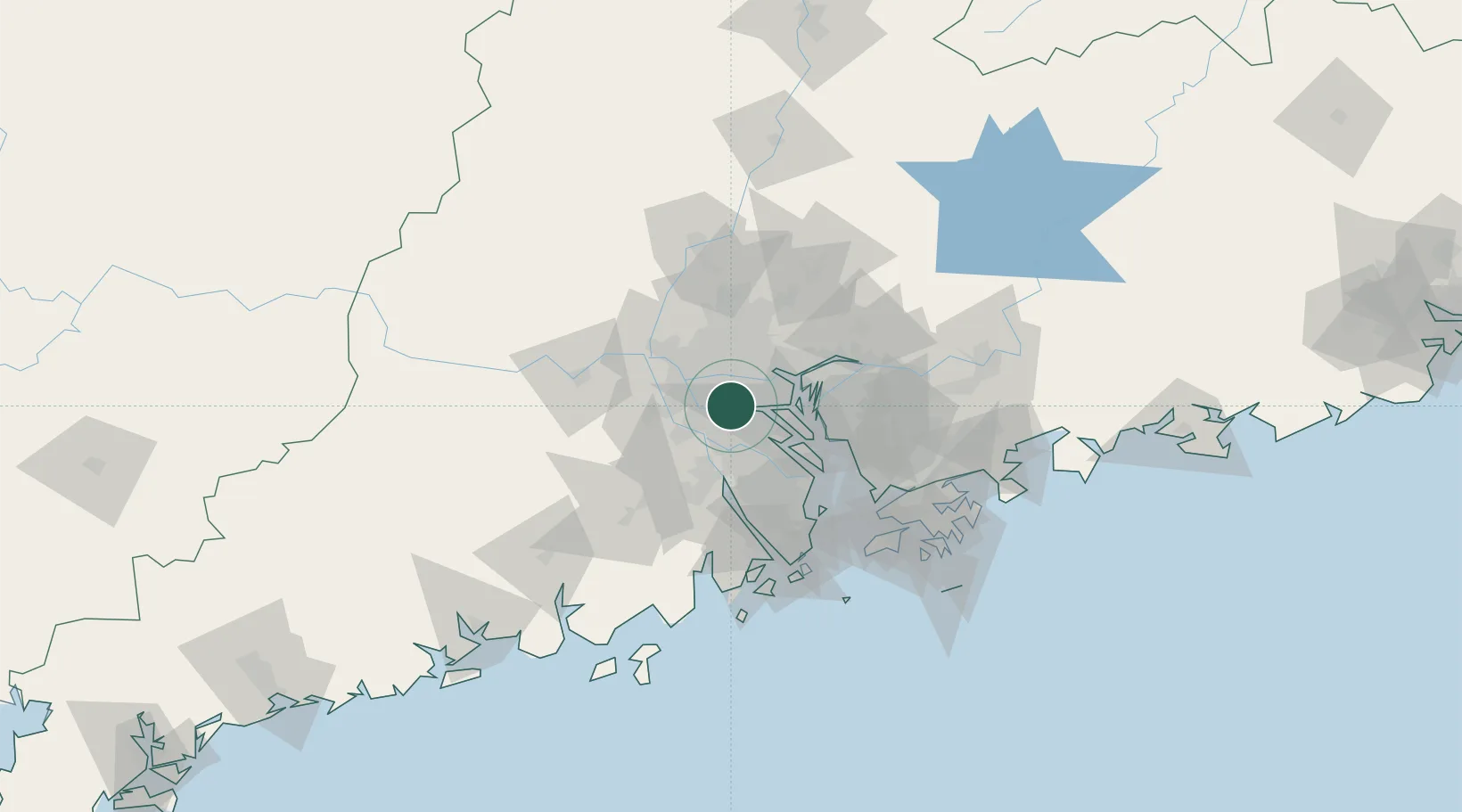
Nearby Logistics Neighbours

Cities
  1. 1Foshan New Pt4 km
  2. 2Chencun5 km
  3. 3Sanshui13 km
  4. 4Pingzhou14 km
  5. 5Shiwan15 km
Nearest neighbours — logibook spatial index (haversine) over the source coordinates
Ports
  1. 1Guangzhou23 km
  2. 2Huangpu29 km
  3. 3Huangpuxingang34 km
  4. 4Shekou85 km
  5. 5Zhuhai86 km
Nearest neighbours — logibook spatial index (haversine) over the source coordinates
Airports
  1. 1Foshan Shadi Airport23 km
  2. 2Guangzhou Baiyun International Airport54 km
  3. 3Shenzhen Bao'an International Airport69 km
  4. 4Macau International Airport94 km
  5. 5Hong Kong International Airport100 km
Nearest neighbours — logibook spatial index (haversine) over the source coordinates
DatabookThe Record of Consolidated Knowledge
China beyond logistics?
Browse databook

All Sources

LocationsUN/LOCODE
UN/LOCODE — free
Portsthe NGA World Port Index
Public domain (US gov)
AirportsOurAirports
Public domain
Trade Zonesthe World Bank SEZ database
CC BY 4.0
Trade ZonesOpen Zone Map
CC BY
← China locations