Free Trade Zone · China

Industrial Transfer Industrial Park, Pengjiang District Active

22.6884°, 113.0190°
1,121 ha
Zone area
52.4 km
Nearest port
44.1 km
Nearest airport

Gateway access

Nearest neighbours — logibook spatial index (haversine) over the source coordinates

Zone profile

Zone type
Free Trade Zone
Open Zone Map
Region
Guangdong
Open Zone Map
Status
Active
Open Zone Map
Management
Public
Open Zone Map
Operator
Pengjiang District Industrial Transfer Industrial Park Management Committee
Open Zone Map
Legal framework
1. "The Financial Support Policy of the Department of Finance of Guangdong Province on Supporting the Joint Construction of the Pearl River Delta and the East, West and North Industries of Guangdong" (Yue Cai Gong [2016] No. 384); 2. "Guangdong Provincial
Open Zone Map

Location

Location of ozm-1541
Natural Earth 10m (public domain) · Guangdong · ozm-1541 · 22.69, 113.02GoogleOSMYandex

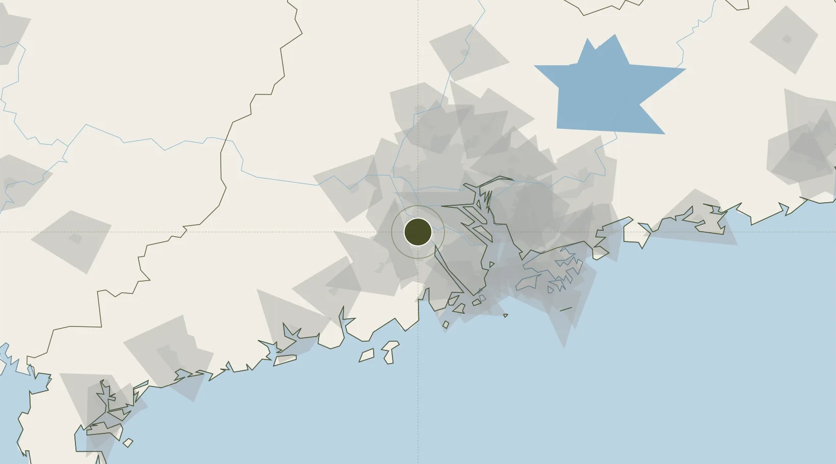
Nearby Logistics Neighbours

Ports
  1. 1Guangzhou52 km
  2. 2Huangpu60 km
  3. 3Huangpuxingang64 km
  4. 4Zhuhai77 km
  5. 5Macau80 km
Nearest neighbours — logibook spatial index (haversine) over the source coordinates
Airports
  1. 1Foshan Shadi Airport44 km
  2. 2Shenzhen Bao'an International Airport81 km
  3. 3Guangzhou Baiyun International Airport83 km
  4. 4Macau International Airport84 km
  5. 5Zhuhai Jinwan Airport84 km
Nearest neighbours — logibook spatial index (haversine) over the source coordinates
Cities
  1. 1Hetang13 km
  2. 2Heshan Pt13 km
  3. 3Waihai17 km
  4. 4Guzhen18 km
  5. 5Jinguzhou19 km
Nearest neighbours — logibook spatial index (haversine) over the source coordinates
DatabookThe Record of Consolidated Knowledge
China beyond logistics?
Browse databook

All Sources

Trade ZonesOpen Zone Map
CC BY
Portsthe NGA World Port Index
Public domain (US gov)
AirportsOurAirports
Public domain
LocationsUN/LOCODE
UN/LOCODE — free
← China trade zones