Transport Functions
Port
Road
Hub Profile
Place type
Local administrative seat
Region
Guangdong
Population
82,031
Time zone
Asia/Shanghai
Elevation
20 m
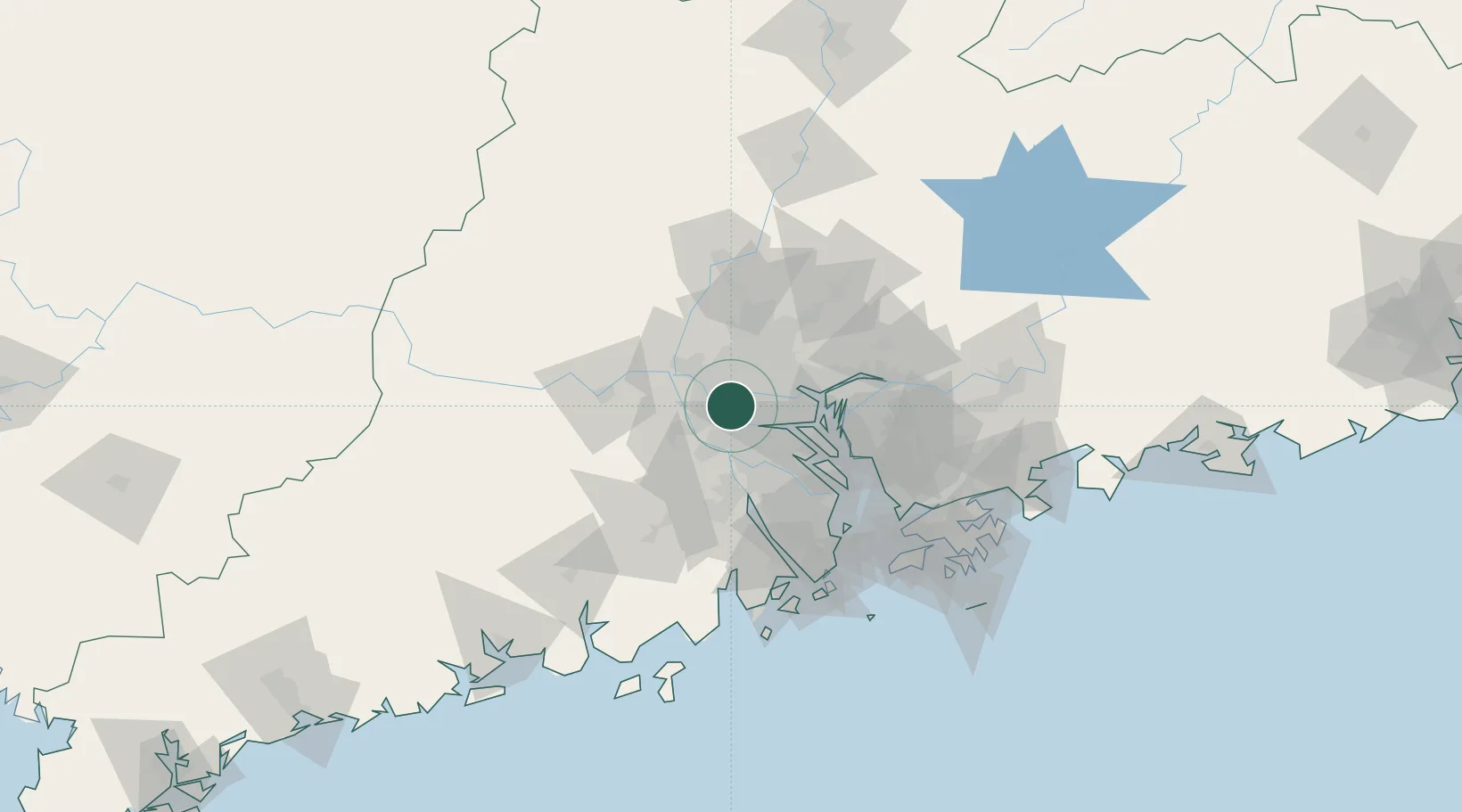
Location
Nearby Logistics Neighbours
Cities
- 1Xingang4 km
- 2Sanshui7 km
- 3Foshan New Pt11 km
- 4Xiaotang14 km
- 5Yanbu14 km
Ports
- 1Guangzhou20 km
- 2Huangpu35 km
- 3Huangpuxingang43 km
- 4Zhuhai100 km
- 5Shekou100 km
Airports
DatabookThe Record of Consolidated Knowledge
China beyond logistics?