Transport Functions
Port
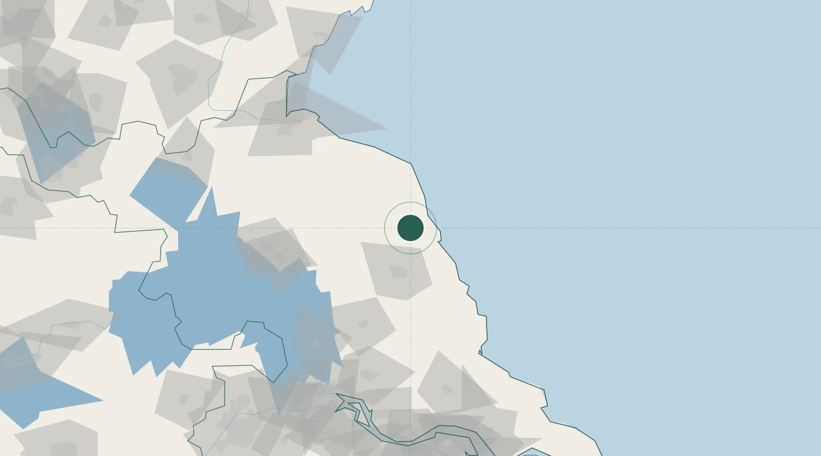
Hub Profile
Place type
Populated place
Region
Jiangsu
Time zone
Asia/Shanghai
Elevation
2 m
Location
Nearby Logistics Neighbours
Cities
- 1Sanya Pt2 km
- 2Yichang Pt38 km
- 3Dafeng74 km
- 4Huaiyin115 km
- 5Lianyungang134 km
Ports
- 1Lianyungang130 km
- 2Lanshan167 km
- 3Gaogang169 km
- 4Yangzhou183 km
- 5Zhenjiang188 km
Airports
DatabookThe Record of Consolidated Knowledge
China beyond logistics?