UN/LOCODE hub · China
CNSYA

Sanya Pt

33.7833°, 120.2500°
1
Transport functions

Transport Functions

Port
Sanya Pt is also a profiled seaport →
UN/LOCODE

Hub Profile

Region
HI
GeoNames
Logistics facilities
1
UN/LOCODE

Location

Location of CNSYA
Natural Earth 10m (public domain) · HI · CNSYA · 33.78, 120.25GoogleOSMYandex

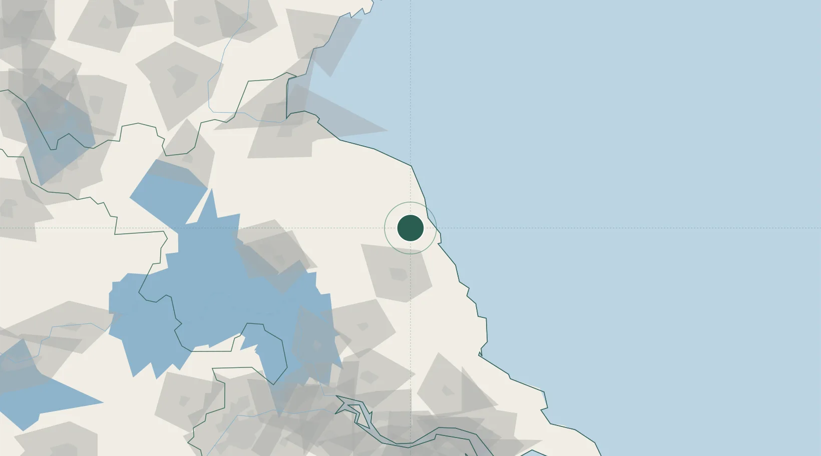
Nearby Logistics Neighbours

Cities
  1. 1Sheyang2 km
  2. 2Yichang Pt40 km
  3. 3Dafeng75 km
  4. 4Huaiyin115 km
  5. 5Lianyungang133 km
Nearest neighbours — logibook spatial index (haversine) over the source coordinates
Ports
  1. 1Lianyungang129 km
  2. 2Lanshan165 km
  3. 3Gaogang171 km
  4. 4Yangzhou185 km
  5. 5Rizhao189 km
Nearest neighbours — logibook spatial index (haversine) over the source coordinates
Airports
  1. 1Yancheng Nanyang International Airport40 km
  2. 2Huai'an Lianshui Airport104 km
  3. 3Lianyungang Huaguoshan International Airport121 km
  4. 4Yangzhou Taizhou Airport144 km
  5. 5Rugao Air Base171 km
Nearest neighbours — logibook spatial index (haversine) over the source coordinates
DatabookThe Record of Consolidated Knowledge
China beyond logistics?
Browse databook

All Sources

LocationsUN/LOCODE
UN/LOCODE — free
Portsthe NGA World Port Index
Public domain (US gov)
AirportsOurAirports
Public domain
Trade Zonesthe World Bank SEZ database
CC BY 4.0
Trade ZonesOpen Zone Map
CC BY
← China locations