UN/LOCODE hub · China
CNYCG

Yichang Pt

33.4435°, 120.1022°
1
Transport functions

Transport Functions

Port
UN/LOCODE

Hub Profile

Region
HB
GeoNames
Logistics facilities
1
UN/LOCODE

Location

Location of CNYCG
Natural Earth 10m (public domain) · HB · CNYCG · 33.44, 120.10GoogleOSMYandex

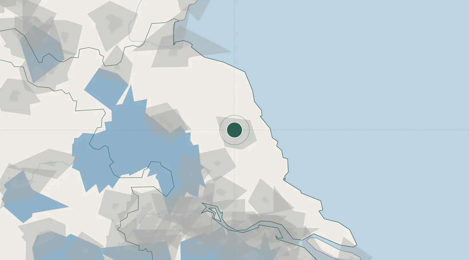
Nearby Logistics Neighbours

Cities
  1. 1Sheyang38 km
  2. 2Sanya Pt40 km
  3. 3Dafeng67 km
  4. 4Huaiyin103 km
  5. 5Jiangyan105 km
Nearest neighbours — logibook spatial index (haversine) over the source coordinates
Ports
  1. 1Gaogang131 km
  2. 2Yangzhou145 km
  3. 3Zhenjiang150 km
  4. 4Lianyungang156 km
  5. 5Changzhou165 km
Nearest neighbours — logibook spatial index (haversine) over the source coordinates
Airports
  1. 1Yancheng Nanyang International Airport10 km
  2. 2Huai'an Lianshui Airport98 km
  3. 3Yangzhou Taizhou Airport104 km
  4. 4Rugao Air Base137 km
  5. 5Lianyungang Huaguoshan International Airport138 km
Nearest neighbours — logibook spatial index (haversine) over the source coordinates
DatabookThe Record of Consolidated Knowledge
China beyond logistics?
Browse databook

All Sources

LocationsUN/LOCODE
UN/LOCODE — free
Portsthe NGA World Port Index
Public domain (US gov)
AirportsOurAirports
Public domain
Trade Zonesthe World Bank SEZ database
CC BY 4.0
Trade ZonesOpen Zone Map
CC BY
← China locations