Export Processing Zone · China

Huaian Economic Development Zone Active
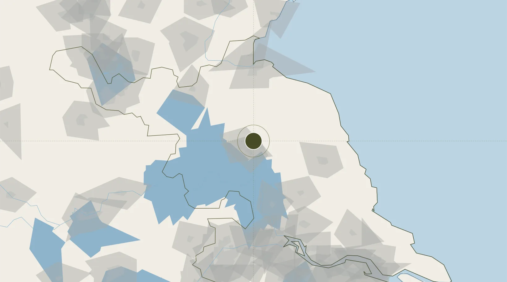
33.6592°, 119.1939°
13,200 ha
Zone area
121.7 km
Nearest port
16.1 km
Nearest airport

Gateway access

Nearest neighbours — logibook spatial index (haversine) over the source coordinates

Zone profile

Zone type
Export Processing Zone
Open Zone Map
Region
Jiangsu
Open Zone Map
Status
Active
Open Zone Map
Management
Public
Open Zone Map
Operator
Working Committee of Huaian Economic Development Zone
Open Zone Map
Legal framework
Huai 'an City Master Plan (2016-2030)
Open Zone Map

Location

Location of ozm-1463
Natural Earth 10m (public domain) · Jiangsu · ozm-1463 · 33.66, 119.19GoogleOSMYandex

Nearby Logistics Neighbours

Ports
  1. 1Lianyungang122 km
  2. 2Yangzhou156 km
  3. 3Lanshan159 km
  4. 4Zhenjiang162 km
  5. 5Gaogang165 km
Nearest neighbours — logibook spatial index (haversine) over the source coordinates
Airports
  1. 1Huai'an Lianshui Airport16 km
  2. 2Lianyungang Huaguoshan International Airport84 km
  3. 3Yancheng Nanyang International Airport97 km
  4. 4Yangzhou Taizhou Airport131 km
  5. 5Xuzhou Guanyin International Airport158 km
Nearest neighbours — logibook spatial index (haversine) over the source coordinates
Cities
  1. 1Huaiyin17 km
  2. 2Yichang Pt88 km
  3. 3Zhangshan96 km
  4. 4Sheyang98 km
  5. 5Sanya Pt99 km
Nearest neighbours — logibook spatial index (haversine) over the source coordinates
Trade Zones
  1. 1Qinghe Economic Development Zone8 km
  2. 2Huai’an Hangzhou Export Processing Zone8 km
  3. 3Lianshui Economic Development Zone16 km
  4. 4Huaian Industrial Park28 km
  5. 5Huaian Industrial Park28 km
Nearest neighbours — logibook spatial index (haversine) over the source coordinates
DatabookThe Record of Consolidated Knowledge
China beyond logistics?
Browse databook

All Sources

Trade ZonesOpen Zone Map
CC BY
Portsthe NGA World Port Index
Public domain (US gov)
AirportsOurAirports
Public domain
LocationsUN/LOCODE
UN/LOCODE — free
← China trade zones