Transport Functions
Rail
Road
Airport
Hub Profile
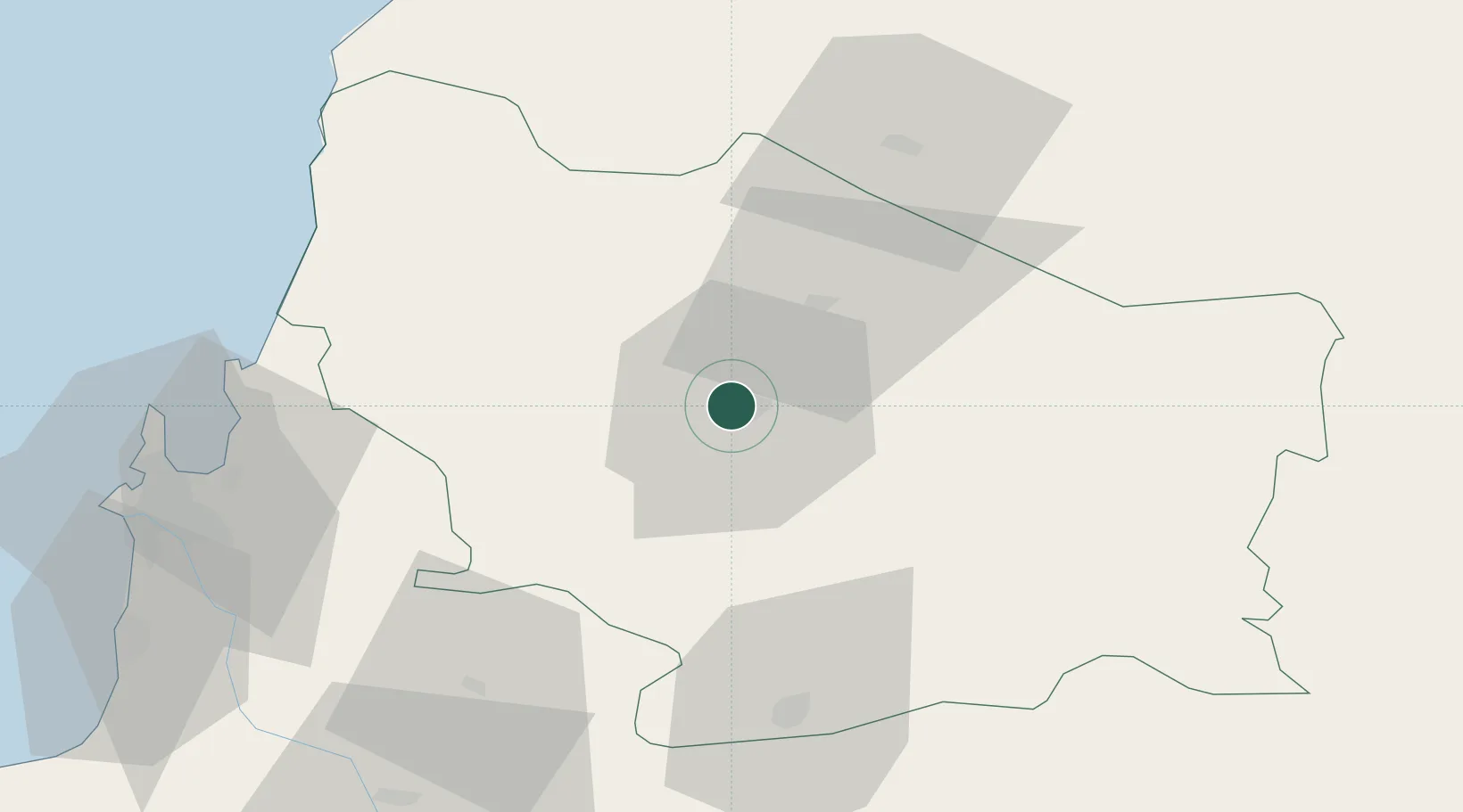
Place type
Regional capital
Region
Ñuble
Population
150,396
Time zone
America/Santiago
Elevation
132 m
Location
Nearby Logistics Neighbours
Cities
- 1San Carlos24 km
- 2Nueva Aldea32 km
- 3Ñiquén41 km
- 4Cabrero55 km
- 5Campanario58 km
Ports
- 1Lirquen80 km
- 2Penco81 km
- 3Talcahuano90 km
- 4Bahia San Vicente96 km
- 5Coronel107 km
Airports
- 1Gral. Bernardo O´Higgins Airport6 km
- 2Carriel Sur International Airport88 km
- 3Panguilemo Airport143 km
- 4Victoria Airport184 km
- 5Maquehue Airport246 km
Trade Zones
DatabookThe Record of Consolidated Knowledge
Chile beyond logistics?