UN/LOCODE hub · Chile
CLCMP

Campanario

-37.1167°, -72.1833°
1
Transport functions

Transport Functions

Multimodal
UN/LOCODE

Hub Profile

Place type
Urban district
GeoNames
Region
Ñuble
GeoNames
Time zone
America/Santiago
GeoNames
Elevation
190 m
GeoNames

Location

Location of CLCMP
Natural Earth 10m (public domain) · Ñuble · CLCMP · -37.12, -72.18GoogleOSMYandex

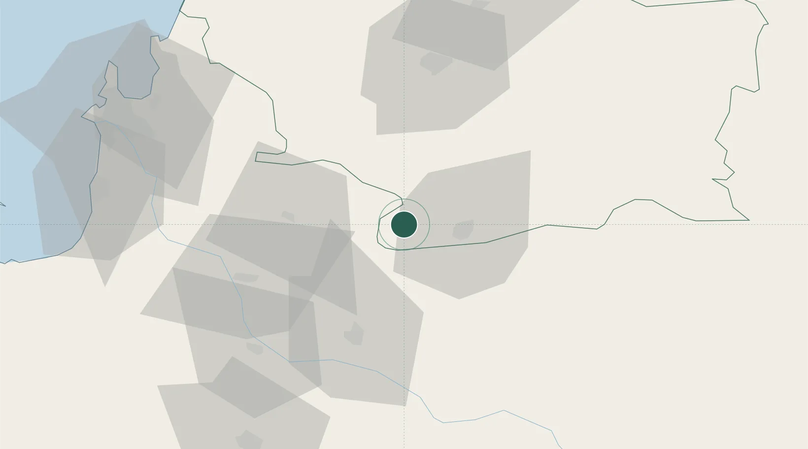
Nearby Logistics Neighbours

Cities
  1. 1Cabrero21 km
  2. 2Yumbel31 km
  3. 3Los Ángeles40 km
  4. 4Nueva Aldea57 km
  5. 5Chillán58 km
Nearest neighbours — logibook spatial index (haversine) over the source coordinates
Ports
  1. 1Lirquen84 km
  2. 2Penco85 km
  3. 3Lota86 km
  4. 4Coronel88 km
  5. 5Talcahuano94 km
Nearest neighbours — logibook spatial index (haversine) over the source coordinates
Airports
  1. 1Gral. Bernardo O´Higgins Airport61 km
  2. 2Carriel Sur International Airport87 km
  3. 3Victoria Airport126 km
  4. 4Maquehue Airport188 km
  5. 5Panguilemo Airport200 km
Nearest neighbours — logibook spatial index (haversine) over the source coordinates
Trade Zones
  1. 1Zona Franca Zapala (Zapala Free Trade Zone)267 km
  2. 2Zona Franca Mendoza Free Trade Zone537 km
  3. 3Zona Franca de San Luis731 km
  4. 4Justo Daract Free Trade Zone731 km
  5. 5General Pico Free Zone768 km
Nearest neighbours — logibook spatial index (haversine) over the source coordinates
DatabookThe Record of Consolidated Knowledge
Chile beyond logistics?
Browse databook

All Sources

LocationsUN/LOCODE
UN/LOCODE — free
Portsthe NGA World Port Index
Public domain (US gov)
AirportsOurAirports
Public domain
Trade Zonesthe World Bank SEZ database
CC BY 4.0
Trade ZonesOpen Zone Map
CC BY
← Chile locations