Transport Functions
Rail
Road
Hub Profile
Place type
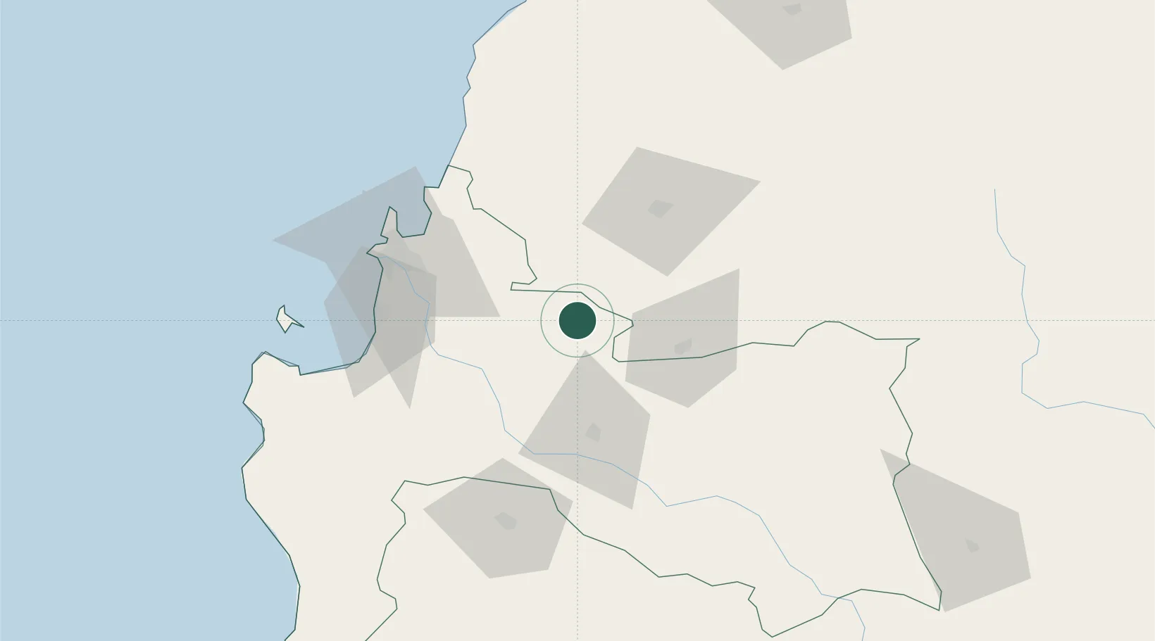
Populated place
Region
Biobío
Population
27,595
Time zone
America/Santiago
Elevation
129 m
Location
Nearby Logistics Neighbours
Cities
- 1Yumbel16 km
- 2Campanario21 km
- 3Nueva Aldea43 km
- 4Los Ángeles47 km
- 5Chillán55 km
Ports
- 1Lirquen63 km
- 2Penco64 km
- 3Lota67 km
- 4Coronel68 km
- 5Talcahuano73 km
Airports
- 1Gral. Bernardo O´Higgins Airport60 km
- 2Carriel Sur International Airport66 km
- 3Victoria Airport135 km
- 4Maquehue Airport194 km
- 5Panguilemo Airport198 km
Trade Zones
DatabookThe Record of Consolidated Knowledge
Chile beyond logistics?