Transport Functions
Port
Road
Hub Profile
Place type
Urban district
Region
Ñuble
Time zone
America/Santiago
Elevation
62 m
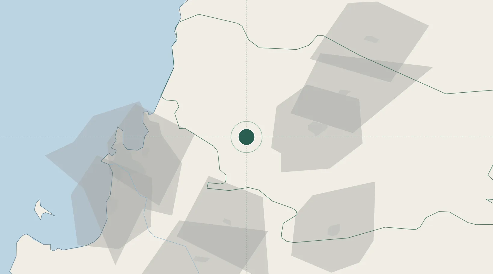
Location
Nearby Logistics Neighbours
Ports
- 1Lirquen48 km
- 2Penco50 km
- 3Talcahuano58 km
- 4Bahia San Vicente65 km
- 5Coronel77 km
Airports
- 1Gral. Bernardo O´Higgins Airport38 km
- 2Carriel Sur International Airport56 km
- 3Panguilemo Airport161 km
- 4Victoria Airport178 km
- 5Maquehue Airport236 km
Trade Zones
DatabookThe Record of Consolidated Knowledge
Chile beyond logistics?