Transport Functions
Rail
Road
Hub Profile
Place type
Populated place
Region
Ñuble
Time zone
America/Santiago
Elevation
146 m
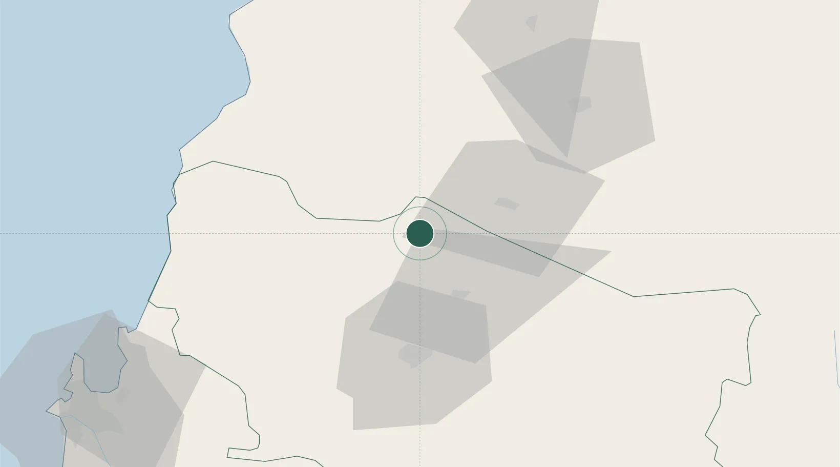
Location
Nearby Logistics Neighbours
Cities
- 1San Carlos22 km
- 2Chillán41 km
- 3Nueva Aldea58 km
- 4Linares60 km
- 5Tomé89 km
Ports
- 1Lirquen98 km
- 2Penco99 km
- 3Talcahuano106 km
- 4Bahia San Vicente113 km
- 5Coronel133 km
Airports
- 1Gral. Bernardo O´Higgins Airport39 km
- 2Panguilemo Airport104 km
- 3Carriel Sur International Airport107 km
- 4Victoria Airport225 km
- 5Comodoro D.R. Salomón Airport239 km
Trade Zones
DatabookThe Record of Consolidated Knowledge
Chile beyond logistics?